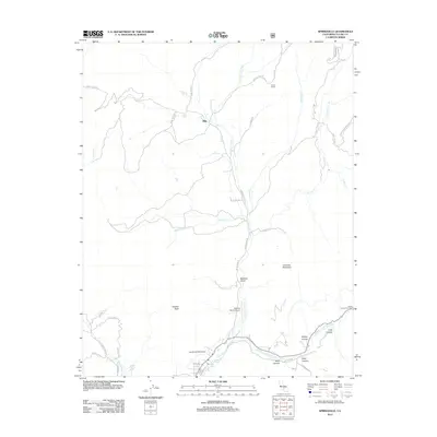
2012 Map of Springville
USGS Topo · Published 2012About this map
The N Fork Tule River and Middle Fork Tule River converge in this region of the southern Sierra Nevada foothills, providing a vital water supply for the valley below. This drainage network is managed in part by the Mount Whitney Ditch, an engineered waterway that mirrors the path of the river systems. The small settlement of Milo sits at a junction of mountain roads like Holby Meadow Rd and Springville-Milo Rd, while Dickey Ranch and Sequoia Ranch Airport represent the rural aviation and ranching heritage of Tulare County.
Find a feature on this map
44 named features on this map. Tap any name to fly to it.
Don’t see what you’re looking for? This feature index may not catch every label — zoom into the map to look around manually.
Map Details
Editions of this 2012 Springville Map
This is the sole edition of this map. No revisions or reprints were ever made.
Other maps of this area

1904 · Kaweah
USGS Topo · 1:125,000

1909 · Kaweah
USGS Topo · 1:125,000

1937 · Kaweah
USGS Topo · 1:125,000

1948 · Fresno
USGS Topo · 1:250,000

1955 · Fresno
USGS Topo · 1:250,000

1956 · Fresno
USGS Topo · 1:250,000
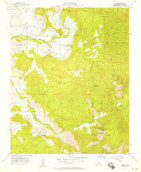
1956 · Globe
USGS Topo · 1:24,000
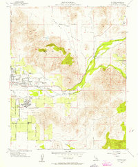
1956 · Success
USGS Topo · 1:24,000

1956 · Mineral King
USGS Topo · 1:62,500
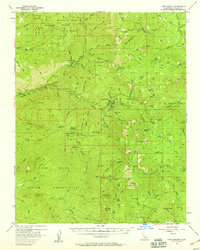
1956 · Camp Nelson
USGS Topo · 1:62,500