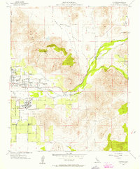
1956 Map of Success
USGS Topo · Published 1957About this map
The Porterville State Hospital complex and its surrounding citrus and cattle country dominate this mid-century survey of the eastern San Joaquin Valley. The landscape transitions from the residential streets of Porterville and Sunland into the foothills of the Sierra Nevada, where Rocky Hill and Worth overlook the Tule River. Water management is a primary focus of this 1956 survey, documented by the Director of Water Resources in the margin. The river's path is tracked through Bartlett Park toward the confluence with the South Fork Tule River, an area that would later be transformed by the Success Dam. The Southern Pacific Railroad winds along the river valley, connecting rural outposts like Success to the main lines. Local education is anchored by landmarks such as Doyle Colony School and Citrus-South Tule School, serving the families who worked the orchards and ranches of Frazier Valley.
Find a feature on this map
34 named features on this map. Tap any name to fly to it.
Don’t see what you’re looking for? This feature index may not catch every label — zoom into the map to look around manually.
Map Details
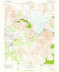
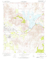
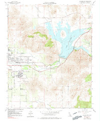
Editions of this 1956 Success Map
4 editions found
Other maps of this area

1904 · Kaweah
USGS Topo · 1:125,000

1909 · Kaweah
USGS Topo · 1:125,000

1928 · Lindsay
USGS Topo · 1:31,680

1929 · Porterville
USGS Topo · 1:31,680

1929 · Ducor
USGS Topo · 1:31,680

1936 · White River
USGS Topo · 1:62,500

1936 · Tobias Peak
USGS Topo · 1:125,000

1937 · Kaweah
USGS Topo · 1:125,000
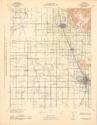
1942 · Porterville
USGS Topo · 1:62,500
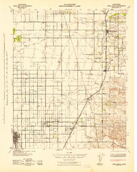
1942 · Terra Bella
USGS Topo · 1:62,500