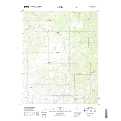
2018 Map of Springville
USGS Topo · Published 2018About this map
The N Fork Tule River carves a central path through this terrain, where the foothills of the western Sierra Nevada meet the communities of Milo and Sierra Nevada. This 2018 survey illustrates a landscape defined by significant elevation changes, from the heights of Blue Ridge and Battle Mtn in the north to the canyon systems of Ward Canyon and Deep Canyon in the south. The transition from private land to the Sequoia National Forest boundary is clearly marked, showing the proximity of early settlements to protected wilderness. Local infrastructure, including the Sequoia Ranch Airport and the winding Balch Park Rd, connects the scattered residential areas like Pleasant Valley with the more remote reaches near Hatchet Peak. Water features such as Soda Spring and the Middle Fork Tule River highlight the importance of the Tule River watershed to the region's geography and development.
Find a feature on this map
48 named features on this map. Tap any name to fly to it.
Don’t see what you’re looking for? This feature index may not catch every label — zoom into the map to look around manually.
Map Details
Editions of this 2018 Springville Map
This is the sole edition of this map. No revisions or reprints were ever made.
Other maps of this area

1904 · Kaweah
USGS Topo · 1:125,000

1909 · Kaweah
USGS Topo · 1:125,000

1937 · Kaweah
USGS Topo · 1:125,000

1948 · Fresno
USGS Topo · 1:250,000

1955 · Fresno
USGS Topo · 1:250,000

1956 · Fresno
USGS Topo · 1:250,000
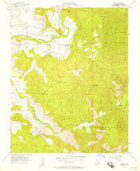
1956 · Globe
USGS Topo · 1:24,000
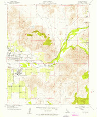
1956 · Success
USGS Topo · 1:24,000

1956 · Mineral King
USGS Topo · 1:62,500
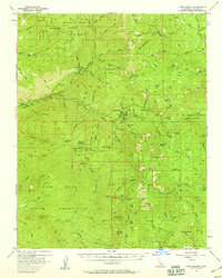
1956 · Camp Nelson
USGS Topo · 1:62,500