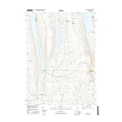
2016 Map of Springwater
USGS Topo · Published 2016About this map
The deep glacial valleys and elevated ridges of the Finger Lakes region define this landscape at the boundary of Ontario and Livingston counties. Springwater sits at the southern terminus of the Springwater Valley, where Springwater Creek and Limekiln Cr converge before entering the southern end of Hemlock Lake. The high ground between the basins is marked by several small rural hamlets and family-named landmarks, such as West Canadice Corners and Bald Hill.
Find a feature on this map
75 named features on this map. Tap any name to fly to it.
Don’t see what you’re looking for? This feature index may not catch every label — zoom into the map to look around manually.
Map Details
Editions of this 2016 Springwater Map
This is the sole edition of this map. No revisions or reprints were ever made.
Other maps of this area
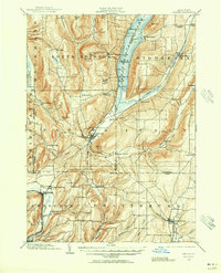
1900 · Naples
USGS Topo · 1:62,500
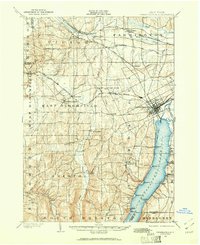
1900 · Canandaigua
USGS Topo · 1:62,500
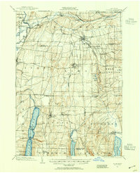
1901 · Honeoye
USGS Topo · 1:62,500
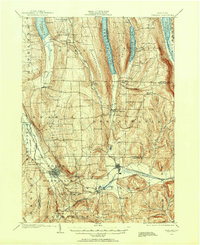
1902 · Wayland
USGS Topo · 1:62,500
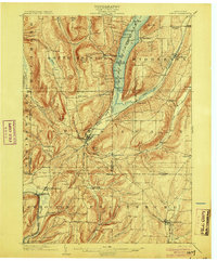
1903 · Naples
USGS Topo · 1:62,500
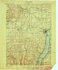
1903 · Canandaigua
USGS Topo · 1:62,500
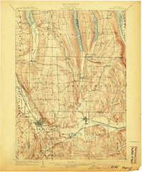
1904 · Wayland
USGS Topo · 1:62,500
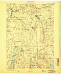
1904 · Honeoye
USGS Topo · 1:62,500
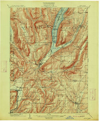
1913 · Naples
USGS Topo · 1:62,500
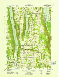
1942 · Springwater
USGS Topo · 1:31,680