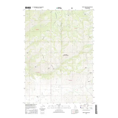
2017 Map of Sprout Mountain
USGS Topo · Published 2017About this map
Sawtooth National Forest dominates this high-elevation Idaho landscape, where a dense network of drainages flows through deeply incised terrain. The topography is defined by prominent divides such as Slickear Ridge, Deer Creek Ridge, and the S Fork Deer Creek Connector, which separate the watersheds of Big Deer Cr and Moores Cr. At the southern edge of the sheet, the terrain levels out at Moores Flat, a notable break in the otherwise continuous system of ridges and gulches.
Find a feature on this map
39 named features on this map. Tap any name to fly to it.
Don’t see what you’re looking for? This feature index may not catch every label — zoom into the map to look around manually.
Map Details
Editions of this 2017 Sprout Mountain Map
This is the sole edition of this map. No revisions or reprints were ever made.
Other maps of this area
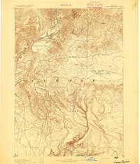
1892 · Camas Prairie
USGS Topo · 1:125,000
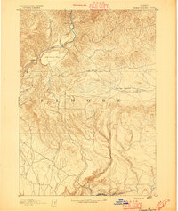
1893 · Camas Prairie
USGS Topo · 1:125,000
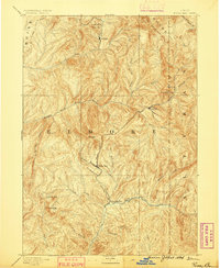
1894 · Rocky Bar
USGS Topo · 1:125,000

1955 · Hailey
USGS Topo · 1:250,000

1959 · Hailey
USGS Topo · 1:250,000

1962 · Hailey
USGS Topo · 1:250,000
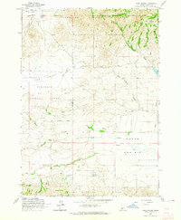
1963 · High Prairie
USGS Topo · 1:24,000
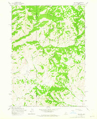
1963 · Deer Mountain
USGS Topo · 1:24,000
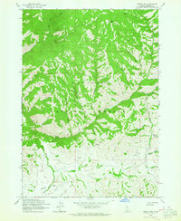
1963 · Sprout Mtn
USGS Topo · 1:24,000
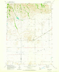
1963 · Hill City
USGS Topo · 1:24,000