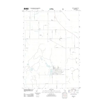
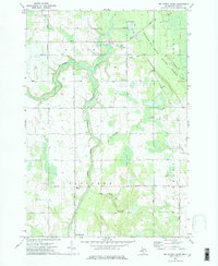
2012 Map of Spruce
USGS Topo · Published 2012About this map
Spruce serves as the focal point of this Alcona County landscape, situated near the intersection of E Spruce Rd and Gillard Rd. The settlement is marked by its Po and proximity to local landmarks like the Caledonia Township Cem. To the north and east, the drainage of the S Br Devils River and Butternut Cr shapes the terrain, while the southern portion of the map is defined by a dense cluster of water bodies including Badger Lake, Deer Lake, and Bear Lake.
Find a feature on this map
57 named features on this map. Tap any name to fly to it.
Don’t see what you’re looking for? This feature index may not catch every label — zoom into the map to look around manually.
Map Details
Editions of this 2012 Spruce Map
This is the sole edition of this map. No revisions or reprints were ever made.
Other maps of this area

1954 · Tawas City
USGS Topo · 1:250,000

1958 · Tawas City
USGS Topo · 1:250,000
1959 · Glennie
USGS Topo · 1:62,500
1959 · Harrisville
USGS Topo · 1:62,500
1971 · Spruce
USGS Topo · 1:24,000
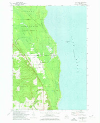
1971 · Black River
USGS Topo · 1:24,000
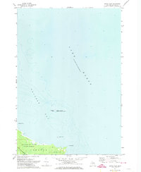
1971 · South Point
USGS Topo · 1:24,000
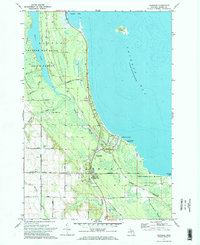
1971 · Ossineke
USGS Topo · 1:24,000
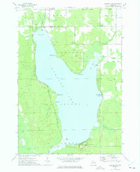
1972 · Hubbard Lake
USGS Topo · 1:24,000
1972 · Big Ravine Creek
USGS Topo · 1:24,000