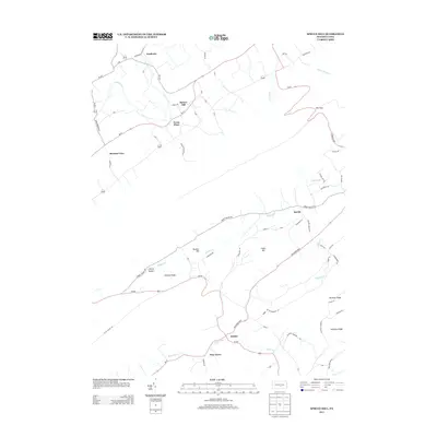
2013 Map of Spruce Hill
USGS Topo · Published 2013About this map
Acadia and Spruce Hill anchor this rural Pennsylvania landscape, where small crossroads settlements are connected by a network of local routes like Groninger Valley Rd and Indian Mound Rd. The geography is defined by parallel ridges such as Hickory Ridge, Buckeye Ridge, and Hoffman Ridge, which dictate the flow of several waterways including Tuscarora Cr and Buffalo Cr.
Find a feature on this map
75 named features on this map. Tap any name to fly to it.
Don’t see what you’re looking for? This feature index may not catch every label — zoom into the map to look around manually.
Map Details
Editions of this 2013 Spruce Hill Map
This is the sole edition of this map. No revisions or reprints were ever made.
Other maps of this area

1919 · Mattawana
USGS Topo · 1:62,500

1924 · Lewistown
USGS Topo · 1:62,500

1925 · Mifflintown
USGS Topo · 1:48,000

1927 · Lewisburg
USGS Topo · 1:62,500

1930 · Loysville
USGS Topo · 1:62,500

1933 · Loysville
USGS Topo · 1:62,500

1934 · Mifflintown
USGS Topo · 1:62,500

1936 · East Waterford
USGS Topo · 1:48,000

1937 · Mifflintown
USGS Topo · 1:62,500

1941 · East Waterford
USGS Topo · 1:62,500
Featured Places
- Saville Township, PA
- Spruce Hill Township, PA
- Milford Township, PA
- Turbett Township, PA
- Northeast Madison Township, PA