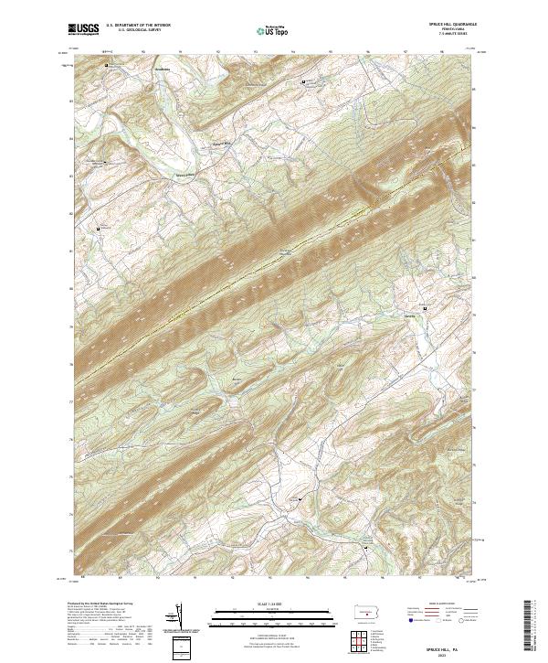
2023 Map of Spruce Hill
USGS Topo · Published 2023About this map
Tuscarora Mountain and Conococheague Mountain dominate this Central Pennsylvania landscape, creating a series of parallel valleys where agriculture and small settlements have taken root. The boundary between Juniata and Perry Counties follows the high ridge of the mountain, separating the Tuscarora Creek drainage to the north from Liberty Valley and Buffalo Creek to the south. The small village of Academia and the hamlet of Spruce Hill serve as local centers near several long-standing religious landmarks, including the Lower Tuscarora Church and Cem and the Spruce Hill Amish Mennonite Cem.
Find a feature on this map
71 named features on this map. Tap any name to fly to it.
Don’t see what you’re looking for? This feature index may not catch every label — zoom into the map to look around manually.
Map Details
Editions of this 2023 Spruce Hill Map
This is the sole edition of this map. No revisions or reprints were ever made.
Other maps of this area

1919 · Mattawana
USGS Topo · 1:62,500

1924 · Lewistown
USGS Topo · 1:62,500

1925 · Mifflintown
USGS Topo · 1:48,000

1927 · Lewisburg
USGS Topo · 1:62,500

1930 · Loysville
USGS Topo · 1:62,500

1933 · Loysville
USGS Topo · 1:62,500

1934 · Mifflintown
USGS Topo · 1:62,500

1936 · East Waterford
USGS Topo · 1:48,000

1937 · Mifflintown
USGS Topo · 1:62,500

1941 · East Waterford
USGS Topo · 1:62,500
Featured Places
- Saville Township, PA
- Spruce Hill Township, PA
- Milford Township, PA
- Turbett Township, PA
- Beale Township, PA