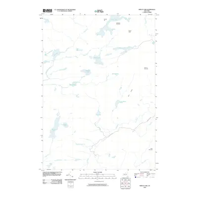
2010 Map of Spruce Lake
USGS Topo · Published 2010About this map
Goodluck Mountain and Pillsbury Mountain anchor a landscape defined by an intricate network of alpine waters and peaks in Hamilton County. This 2010 survey shows the headwaters of the Jessup River and West Canada Creek, illustrating a wilderness area preserved from dense development. Sparse human infrastructure is limited to primitive routes like Jessup River Rd and Otter Lake Rd, which provide the only managed access into the interior.
Find a feature on this map
37 named features on this map. Tap any name to fly to it.
Don’t see what you’re looking for? This feature index may not catch every label — zoom into the map to look around manually.
Map Details
Editions of this 2010 Spruce Lake Map
This is the sole edition of this map. No revisions or reprints were ever made.
Other maps of this area

1899 · Indian Lake
USGS Topo · 1:62,500

1900 · Canada Lake
USGS Topo · 1:62,500

1902 · Indian Lake
USGS Topo · 1:62,500

1903 · West Canada Lakes
USGS Topo · 1:62,500

1904 · Piseco Lake
USGS Topo · 1:62,500

1906 · Piseco Lake
USGS Topo · 1:62,500

1907 · Lake Pleasant
USGS Topo · 1:62,500

1908 · Piseco Lake
USGS Topo · 1:62,500

1950 · Utica
USGS Topo · 1:250,000

1954 · Lake Pleasant
USGS Topo · 1:62,500