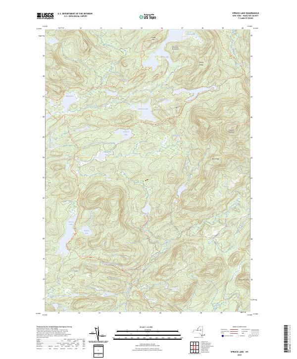
2023 Map of Spruce Lake
USGS Topo · Published 2023About this map
Pillsbury Mountain and Goodluck Mountain define the high elevations of this Adirondack interior, where a network of historic footpaths links remote water bodies. The Northville-Placid Trl serves as a primary artery through the landscape, intersecting with the French Louis Trl and Cedar Lakes Trl. This drainage system is dominated by the Jessup River and West Canada Creek, with numerous wetlands such as Sampson Bog and Belden Vly filling the basins between peaks. The distribution of named camps and trail shelters reflects a long-standing recreation and conservation economy in this part of Hamilton County. Notable water bodies including Spruce Lake, Whitney Lake, and the uniquely named Puddle Hole illustrate the dense hydrography of the High Peaks region.
Find a feature on this map
40 named features on this map. Tap any name to fly to it.
Don’t see what you’re looking for? This feature index may not catch every label — zoom into the map to look around manually.
Map Details
Editions of this 2023 Spruce Lake Map
This is the sole edition of this map. No revisions or reprints were ever made.
Other maps of this area

1899 · Indian Lake
USGS Topo · 1:62,500

1900 · Canada Lake
USGS Topo · 1:62,500

1902 · Indian Lake
USGS Topo · 1:62,500

1903 · West Canada Lakes
USGS Topo · 1:62,500

1904 · Piseco Lake
USGS Topo · 1:62,500

1906 · Piseco Lake
USGS Topo · 1:62,500

1907 · Lake Pleasant
USGS Topo · 1:62,500

1908 · Piseco Lake
USGS Topo · 1:62,500

1950 · Utica
USGS Topo · 1:250,000

1954 · Lake Pleasant
USGS Topo · 1:62,500