
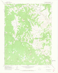
1961 Map of Spruce Mountain
USGS Topo · Published 1964About this map
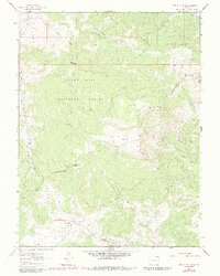
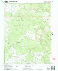
Grand Mesa dominates this early 1960s survey, where the convergence of the White River, Grand Mesa, and Gunnison National Forests defines a landscape of high plateaus and drainage basins. Evidence of early resource exploration and ranching is visible at Oil Well Camp, situated near the peak of Oil Well Mountain, and Buzzard Cow Camp along the western edge. The map captures a complex network of water sources, including the headwaters of Logpile Creek, Crooked Creek, and the uniquely named No Good Park. Of particular interest to local historians is the Drill Hole near Logpile Creek and a Pack Trail in the north, indicating historical transit and prospecting routes through the high country before modern road development reshaped the region.
Find a feature on this map
35 named features on this map. Tap any name to fly to it.
Don’t see what you’re looking for? This feature index may not catch every label — zoom into the map to look around manually.
Map Details
Editions of this 1961 Spruce Mountain Map
4 editions found

Other maps of this area

1957 · Leadville
USGS Topo · 1:250,000

1959 · Leadville
USGS Topo · 1:250,000

1960 · Leadville
USGS Topo · 1:250,000

1961 · Electric Mountain
USGS Topo · 1:24,000

1961 · Porter Mountain
USGS Topo · 1:24,000

1961 · Chalk Mountain
USGS Topo · 1:24,000

1962 · Leadville
USGS Topo · 1:250,000
1963 · Flatiron Mountain
USGS Topo · 1:24,000
1963 · Hightower Mountain
USGS Topo · 1:24,000
1963 · Bull Mountain
USGS Topo · 1:24,000