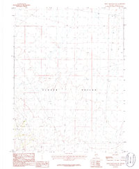
1986 Map of Spruce Mountain NW
USGS Topo · Published 1986About this map
Clover Valley dominates this 1980s landscape in Elko County, showing a vast transition between the valley floor and the surrounding high desert terrain. The map captures a moment in time when the basin was primarily defined by its natural drainage patterns and section lines rather than dense settlement. Human activity is concentrated at a specific Quarry site in the southwestern portion of the quadrangle, suggesting localized industrial or infrastructure use. Compiled from 1970s aerial photography and field-checked in the early 1980s, this provisional survey by the U.S. Geological Survey documents the sparse road network and terrain before modern developments. The lack of named settlements emphasizes the remote, utilitarian nature of the land during this era.
Find a feature on this map
4 named features on this map. Tap any name to fly to it.
Don’t see what you’re looking for? This feature index may not catch every label — zoom into the map to look around manually.
Map Details
Editions of this 1986 Spruce Mountain NW Map
This is the sole edition of this map. No revisions or reprints were ever made.
Other maps of this area

1935 · Halleck
USGS Topo · 1:125,000

1953 · Spruce Mountain
USGS Topo · 1:62,500

1955 · Elko
USGS Topo · 1:250,000

1958 · Elko
USGS Topo · 1:250,000

1962 · Elko
USGS Topo · 1:250,000

1965 · Elko
USGS Topo · 1:250,000

1968 · Snow Water Lake
USGS Topo · 1:24,000

1968 · Ventosa
USGS Topo · 1:24,000
1969 · Gordon Creek
USGS Topo · 1:24,000
1984 · Arizona Spring
USGS Topo · 1:24,000