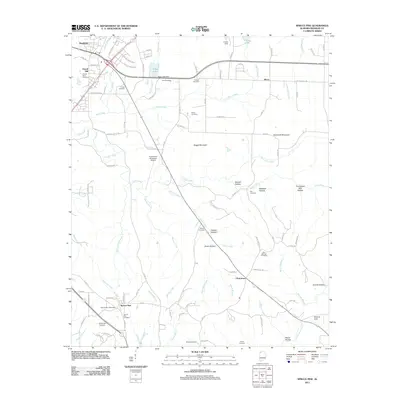
2011 Map of Spruce Pine
USGS Topo · Published 2011About this map
Spruce Pine and the surrounding Franklin County uplands are defined by a network of small family cemeteries and winding hollows that characterize this part of Alabama. This survey shows the community clustered near the Spruce Pine Post Office and Spruce Pine Cemetery, while the northern portion of the quadrangle includes the southern reaches of Russellville with landmarks like the Russellville Municipal Airport and Sloss Lake.
Find a feature on this map
96 named features on this map. Tap any name to fly to it.
Don’t see what you’re looking for? This feature index may not catch every label — zoom into the map to look around manually.
Map Details
Editions of this 2011 Spruce Pine Map
This is the sole edition of this map. No revisions or reprints were ever made.
Other maps of this area

1924 · Tuscumbia
USGS Topo · 1:48,000

1925 · Barton
USGS Topo · 1:62,500

1926 · Tuscumbia
USGS Topo · 1:62,500

1926 · Barton
USGS Topo · 1:48,000

1929 · Barton
USGS Topo · 1:62,500

1936 · Russellville
USGS Topo · 1:24,000

1936 · Newburg
USGS Topo · 1:24,000

1936 · Kinlock Spring
USGS Topo · 1:24,000

1936 · Frankfort
USGS Topo · 1:24,000

1936 · Isbell
USGS Topo · 1:24,000