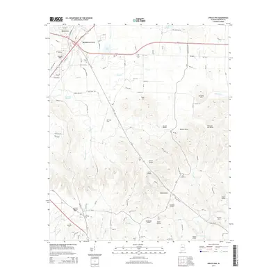
2014 Map of Spruce Pine
USGS Topo · Published 2014About this map
The southern outskirts of Russellville and the settlement of Spruce Pine define this portion of Franklin County. This landscape is characterized by a high density of family and community burial grounds, including the Wilson Nooe Cem, Orman Cem, and Blue Springs Cem. To the north, Sloss Lake and the Russellville Reservoir provide key water resources, while the terrain transitions into a series of named hollows such as Bendall Hollow and Henson Hollow further south. The transportation network is anchored by Us-43 and Al-24, which facilitate movement between local hubs like Gravel Hill, Reedtown, and Waco. The topography reveals the natural drainage of Harris Cr and Sibley Cr, which carve through the elevations near Suggs Mtn and Horsemill Mtn, leading toward the distinct Natural Arch in the southeast.
Find a feature on this map
119 named features on this map. Tap any name to fly to it.
Don’t see what you’re looking for? This feature index may not catch every label — zoom into the map to look around manually.
Map Details
Editions of this 2014 Spruce Pine Map
This is the sole edition of this map. No revisions or reprints were ever made.
Other maps of this area

1924 · Tuscumbia
USGS Topo · 1:48,000

1925 · Barton
USGS Topo · 1:62,500

1926 · Tuscumbia
USGS Topo · 1:62,500

1926 · Barton
USGS Topo · 1:48,000

1929 · Barton
USGS Topo · 1:62,500

1936 · Russellville
USGS Topo · 1:24,000

1936 · Newburg
USGS Topo · 1:24,000

1936 · Kinlock Spring
USGS Topo · 1:24,000

1936 · Frankfort
USGS Topo · 1:24,000

1936 · Isbell
USGS Topo · 1:24,000