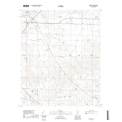
2018 Map of Spruce Pine
USGS Topo · Published 2018About this map
Russellville serves as the primary hub of this North Alabama landscape, where the street grid of Reedtown and Gravel Hill meets the corridors of Washington Ave and Military Rd. The terrain is defined by a dense network of hollows and ridges, such as Suggs Mtn and Horsemill Mtn, which separate the various creek branches that feed into Cedar Cr. Small communities like Spruce Pine and Waco are connected by rural routes such as Co Rd 43 and Old State Rte 24, with numerous family cemeteries like Harris Cem and Sargent Cem dotting the countryside. To the southeast, the landscape becomes increasingly dissected, featuring landmarks like the Natural Arch and a series of deep hollows including Devils Den Hollow and Flippo Hollow.
Find a feature on this map
128 named features on this map. Tap any name to fly to it.
Don’t see what you’re looking for? This feature index may not catch every label — zoom into the map to look around manually.
Map Details
Editions of this 2018 Spruce Pine Map
This is the sole edition of this map. No revisions or reprints were ever made.
Other maps of this area
1924 · Tuscumbia
USGS Topo · 1:48,000
1925 · Barton
USGS Topo · 1:62,500
1926 · Tuscumbia
USGS Topo · 1:62,500
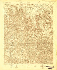
1926 · Barton
USGS Topo · 1:48,000
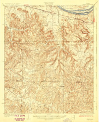
1929 · Barton
USGS Topo · 1:62,500
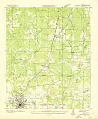
1936 · Russellville
USGS Topo · 1:24,000
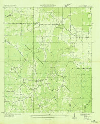
1936 · Newburg
USGS Topo · 1:24,000
1936 · Kinlock Spring
USGS Topo · 1:24,000
1936 · Frankfort
USGS Topo · 1:24,000
1936 · Isbell
USGS Topo · 1:24,000