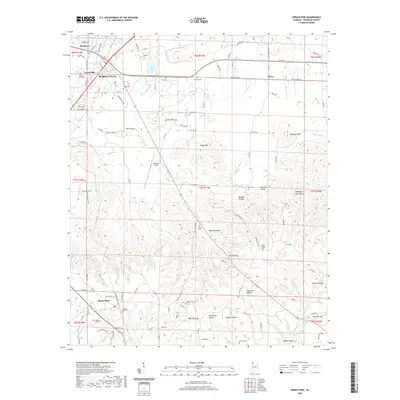
2020 Map of Spruce Pine
USGS Topo · Published 2020About this map
Russellville and its southern neighboring communities define this Franklin County landscape, where the foothills of the Appalachians give way to a complex network of hollows and ridges. The map reveals a dense distribution of family and community burial grounds, including the Orman Cem, Sargent Cem, and Rea Cem, which provide significant anchor points for genealogical research in the region. The settlement of Spruce Pine sits in the southwest, surrounded by topographical features like Scharnagle Br and Devils Den Hollow.
Find a feature on this map
114 named features on this map. Tap any name to fly to it.
Don’t see what you’re looking for? This feature index may not catch every label — zoom into the map to look around manually.
Map Details
Editions of this 2020 Spruce Pine Map
This is the sole edition of this map. No revisions or reprints were ever made.
Other maps of this area

1924 · Tuscumbia
USGS Topo · 1:48,000

1925 · Barton
USGS Topo · 1:62,500

1926 · Tuscumbia
USGS Topo · 1:62,500

1926 · Barton
USGS Topo · 1:48,000

1929 · Barton
USGS Topo · 1:62,500

1936 · Russellville
USGS Topo · 1:24,000

1936 · Newburg
USGS Topo · 1:24,000

1936 · Kinlock Spring
USGS Topo · 1:24,000

1936 · Frankfort
USGS Topo · 1:24,000

1936 · Isbell
USGS Topo · 1:24,000