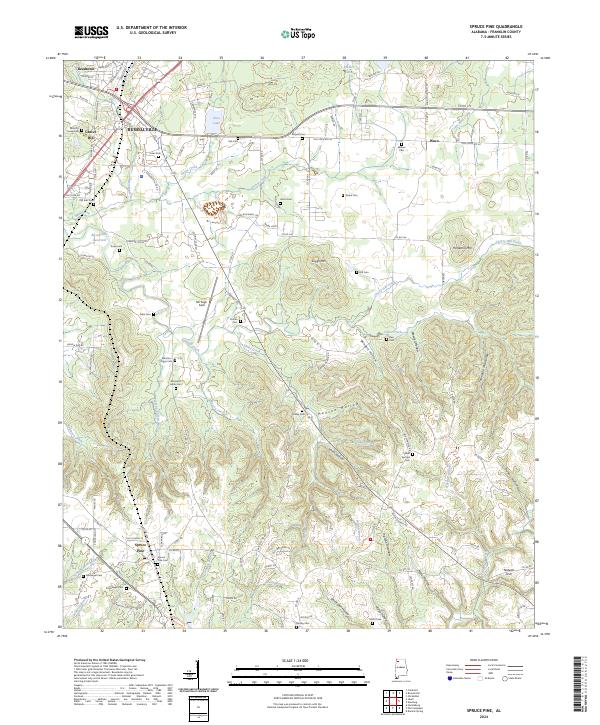
2024 Map of Spruce Pine
USGS Topo · Published 2024About this map
Russellville and Spruce Pine anchor this topographical survey of Franklin County, showing a landscape defined by its network of hollows and family burial grounds. The northern reaches include the community of Waco and the waters of Sloss Lake, while the southern terrain breaks into deep recesses like Devils Den Hollow and Maxwell Hollow. The density of cemeteries is particularly high across these ridges, including the Wilson-Nooe Cem, Benjamin Harris Cem, and Scharnagle Cem, offering a comprehensive map for genealogical research. Settlement patterns follow the high ground between the drainage of Cedar Creek and Sibley Creek, with Bill Pugh Field and the Russellville Reservoir marking modern land use amidst the traditional hollows of the Appalachian foothills. The proximity of Gravel Hill and Reedtown to the county seat illustrates the early 21st-century residential footprint of the region.
Find a feature on this map
145 named features on this map. Tap any name to fly to it.
Don’t see what you’re looking for? This feature index may not catch every label — zoom into the map to look around manually.
Map Details
Editions of this 2024 Spruce Pine Map
This is the sole edition of this map. No revisions or reprints were ever made.
Other maps of this area

1924 · Tuscumbia
USGS Topo · 1:48,000

1925 · Barton
USGS Topo · 1:62,500

1926 · Tuscumbia
USGS Topo · 1:62,500

1926 · Barton
USGS Topo · 1:48,000

1929 · Barton
USGS Topo · 1:62,500

1936 · Russellville
USGS Topo · 1:24,000

1936 · Newburg
USGS Topo · 1:24,000

1936 · Kinlock Spring
USGS Topo · 1:24,000

1936 · Frankfort
USGS Topo · 1:24,000

1936 · Isbell
USGS Topo · 1:24,000