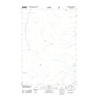
2011 Map of Spur Mountain
USGS Topo · Published 2011About this map
Yellow Bear Lake sits at the high-elevation center of this Madison County landscape, surrounded by the towering peaks of the Snowcrest Range. The topography is defined by sharp ridges and deep drainage basins, including the rugged Sliderock Mountain and the prominent Spur Mountain. Water from these heights feeds a complex network of tributaries, with Ledford Creek and Lone Rock Creek flowing toward the northwest, while the West Fork Ruby River and Beaver Creek dominate the southern reaches.
Find a feature on this map
28 named features on this map. Tap any name to fly to it.
Don’t see what you’re looking for? This feature index may not catch every label — zoom into the map to look around manually.
Map Details
Editions of this 2011 Spur Mountain Map
This is the sole edition of this map. No revisions or reprints were ever made.
Other maps of this area
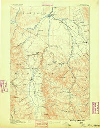
1888 · Three Forks
USGS Topo · 1:250,000
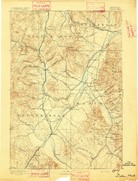
1893 · Dillon
USGS Topo · 1:250,000
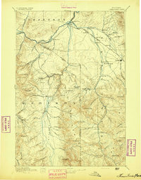
1894 · Three Forks
USGS Topo · 1:250,000
1895 · Three Forks
USGS Topo · 1:250,000

1947 · Bozeman
USGS Topo · 1:250,000

1948 · Bozeman
USGS Topo · 1:250,000
1949 · Varney
USGS Topo · 1:62,500
1950 · Monument Ridge
USGS Topo · 1:62,500
1955 · Bozeman
USGS Topo · 1:250,000

1955 · Dubois
USGS Topo · 1:250,000