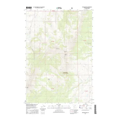
2017 Map of Spur Mountain
USGS Topo · Published 2017About this map
The Snowcrest Range dominates this portion of the Beaverhead National Forest, forming a high-elevation divide where peaks like Spur Mountain and Sliderock Mtn rise above the drainage basins. Water flows from these heights through a network of creeks including Ledford Cr and Lone Rock Cr, eventually feeding the W Fork Ruby River and the main Ruby River in the southern reaches. This 2017 survey reflects a landscape defined by its hydrography and terrain rather than human settlement, with primitive access points like Ledford Creek Rd and Spring Bear Creek providing the few markers of passage. The presence of Yellow Bear Lake and the high Ledford Pass indicates the remote, alpine character of this Madison County territory, where natural boundaries and township lines provide the primary structure for the land.
Find a feature on this map
36 named features on this map. Tap any name to fly to it.
Don’t see what you’re looking for? This feature index may not catch every label — zoom into the map to look around manually.
Map Details
Editions of this 2017 Spur Mountain Map
This is the sole edition of this map. No revisions or reprints were ever made.
Other maps of this area
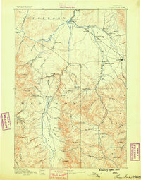
1888 · Three Forks
USGS Topo · 1:250,000
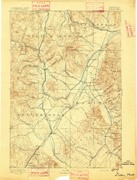
1893 · Dillon
USGS Topo · 1:250,000
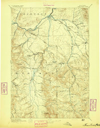
1894 · Three Forks
USGS Topo · 1:250,000
1895 · Three Forks
USGS Topo · 1:250,000

1947 · Bozeman
USGS Topo · 1:250,000

1948 · Bozeman
USGS Topo · 1:250,000
1949 · Varney
USGS Topo · 1:62,500
1950 · Monument Ridge
USGS Topo · 1:62,500
1955 · Bozeman
USGS Topo · 1:250,000

1955 · Dubois
USGS Topo · 1:250,000