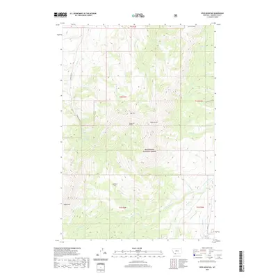
2020 Map of Spur Mountain
USGS Topo · Published 2020About this map
Beaverhead National Forest defines the geography of this Madison County high-country survey, dominated by the peaks of the Snowcrest Range. The landscape is a network of named drainages and mountain passes, including Ledford Pass, which connects the various watersheds. High-elevation water features like Yellow Bear Lake feed into a complex system of creeks such as Ledford Cr and Snowslide Cr, eventually reaching the W Fork Ruby River and the Ruby River itself in the southeastern quadrant.
Find a feature on this map
46 named features on this map. Tap any name to fly to it.
Don’t see what you’re looking for? This feature index may not catch every label — zoom into the map to look around manually.
Map Details
Editions of this 2020 Spur Mountain Map
This is the sole edition of this map. No revisions or reprints were ever made.
Other maps of this area

1888 · Three Forks
USGS Topo · 1:250,000

1893 · Dillon
USGS Topo · 1:250,000

1894 · Three Forks
USGS Topo · 1:250,000

1895 · Three Forks
USGS Topo · 1:250,000

1947 · Bozeman
USGS Topo · 1:250,000

1948 · Bozeman
USGS Topo · 1:250,000

1949 · Varney
USGS Topo · 1:62,500

1950 · Monument Ridge
USGS Topo · 1:62,500

1955 · Bozeman
USGS Topo · 1:250,000

1955 · Dubois
USGS Topo · 1:250,000