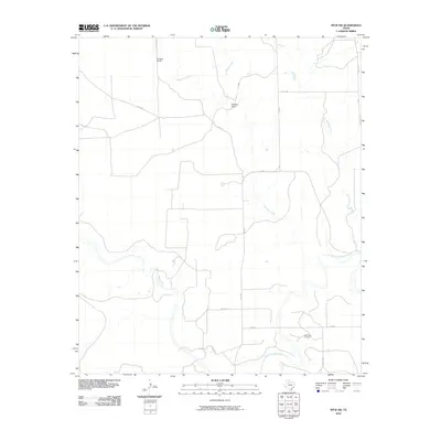
2010 Map of Spur SW
USGS Topo · Published 2010About this map
Godfrey Ranch and Morrison Ranch stand as prominent landmarks in this ranching landscape of West Texas. The terrain is defined by a dense network of drainage systems, including Red Mud Creek, Spring Creek, and Little Red Mud Creek, which eventually feed toward the more substantial White River and the Salt-Fork Brazos River in the southern portion of the quadrangle. The presence of the Salt Creek Oil Field in the southeast corner indicates the ongoing intersection of traditional land use with energy extraction. A grid of county roads such as Co RD 233 and Co RD 229 provides access across the arid plains, tracing the property lines and topography of Kent County during the early twenty-first century.
Find a feature on this map
20 named features on this map. Tap any name to fly to it.
Don’t see what you’re looking for? This feature index may not catch every label — zoom into the map to look around manually.
Map Details
Editions of this 2010 Spur SW Map
This is the sole edition of this map. No revisions or reprints were ever made.
Other maps of this area

1954 · Lubbock
USGS Topo · 1:250,000

1962 · Twomile Creek
USGS Topo · 1:24,000

1962 · Smith Tank
USGS Topo · 1:24,000

1967 · Spur
USGS Topo · 1:24,000

1967 · Spur NW
USGS Topo · 1:24,000

1968 · Spur SW
USGS Topo · 1:24,000

1968 · White Camp
USGS Topo · 1:24,000

1969 · Cottonwood Creek
USGS Topo · 1:24,000

1969 · Clairemont West
USGS Topo · 1:24,000

1969 · T-O Creek
USGS Topo · 1:24,000