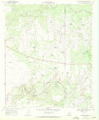
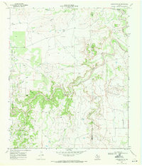
1969 Map of Cottonwood Creek
USGS Topo · Published 1971About this map
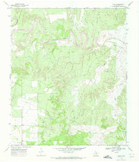
The Salt Fork Brazos River and the North Fork Double Mountain Fork Brazos River bracket a landscape defined by an extensive network of water management features and cattle-ranching infrastructure. In this late 1960s survey, the terrain is dotted with numerous stock tanks and windmills, reflecting the vital importance of water in this part of the Texas panhandle. Named landmarks such as the Schoolhouse Windmill and Slicknasty Windmill suggest the historical locations of early community centers and remote outposts. Settlement is sparse, represented by family-named holdings like the Beggs Ranch and Johnson Ranch. A notable Landing Strip near the small community of Kent underscores the necessity of aerial access in these vast ranching reaches. The map also records numerous drainages including Slicknasty Creek and Home Draw, along with family-named tanks like Callis Tank and Holloway Tank.
Find a feature on this map
49 named features on this map. Tap any name to fly to it.
Don’t see what you’re looking for? This feature index may not catch every label — zoom into the map to look around manually.
Map Details
Editions of this 1969 Cottonwood Creek Map
This is the sole edition of this map. No revisions or reprints were ever made.
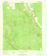
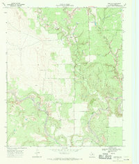
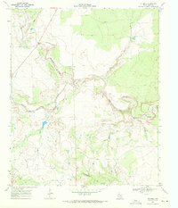
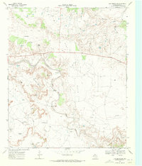
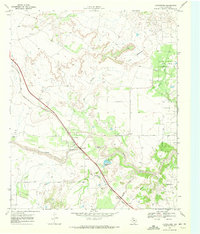
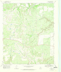
Other maps of this area

1954 · Lubbock
USGS Topo · 1:250,000
1962 · Twomile Creek
USGS Topo · 1:24,000
1968 · Spur SW
USGS Topo · 1:24,000
1969 · Verbena
USGS Topo · 1:24,000
1969 · Justiceburg SE
USGS Topo · 1:24,000
1969 · Justiceburg NW
USGS Topo · 1:24,000
1969 · Justiceburg
USGS Topo · 1:24,000
1969 · T-O Creek
USGS Topo · 1:24,000
1969 · Polar
USGS Topo · 1:24,000
1985 · Aspermont
USGS Topo · 1:100,000