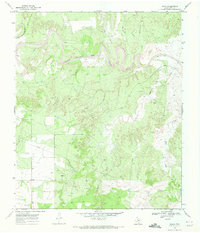
1969 Map of Polar
USGS Topo · Published 1972About this map
The Double Mountain Fork Brazos River carves a deep, winding path through this West Texas landscape, defining the topography south of the community of Polar. In the late 1960s, the area shows a sparse but organized settlement pattern of ranches and oil development, centered around Connell Ranch and the small collection of structures at Polar. The inclusion of the Polar Cem provides a focal point for genealogical research in this rural portion of Kent County.
Find a feature on this map
17 named features on this map. Tap any name to fly to it.
Don’t see what you’re looking for? This feature index may not catch every label — zoom into the map to look around manually.
Map Details
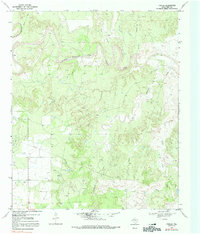
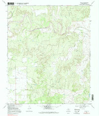
Editions of this 1969 Polar Map
3 editions found
Other maps of this area

1954 · Lubbock
USGS Topo · 1:250,000

1954 · Big Spring
USGS Topo · 1:250,000

1958 · Big Spring
USGS Topo · 1:250,000

1969 · Cottonwood Creek
USGS Topo · 1:24,000

1969 · Justiceburg SE
USGS Topo · 1:24,000

1969 · Maverick Creek
USGS Topo · 1:24,000

1969 · Cooper Mountain
USGS Topo · 1:24,000

1969 · Clairemont West
USGS Topo · 1:24,000

1969 · T-O Creek
USGS Topo · 1:24,000

1969 · Flat Top Mountain
USGS Topo · 1:24,000