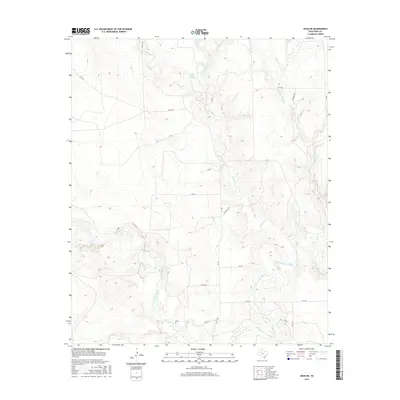
2016 Map of Spur SW
USGS Topo · Published 2016About this map
Salt Fork Brazos River dominates the southeastern terrain of this West Texas landscape, where the confluence of several seasonal drainages carves a complex network of breaks into the rolling plains. The hydrology of the region is anchored by Spring Creek Springs, which feeds into Spring Cr to the north, while the White River and Red Mud Cr create significant topographic relief as they cut through the western and central portions of the quadrangle.
Find a feature on this map
21 named features on this map. Tap any name to fly to it.
Don’t see what you’re looking for? This feature index may not catch every label — zoom into the map to look around manually.
Map Details
Editions of this 2016 Spur SW Map
This is the sole edition of this map. No revisions or reprints were ever made.
Other maps of this area
1954 · Lubbock
USGS Topo · 1:250,000
1962 · Twomile Creek
USGS Topo · 1:24,000
1962 · Smith Tank
USGS Topo · 1:24,000
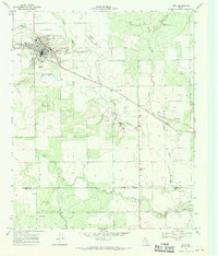
1967 · Spur
USGS Topo · 1:24,000
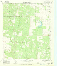
1967 · Spur NW
USGS Topo · 1:24,000
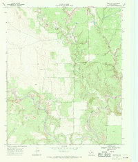
1968 · Spur SW
USGS Topo · 1:24,000
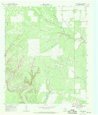
1968 · White Camp
USGS Topo · 1:24,000
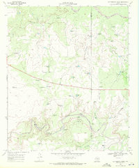
1969 · Cottonwood Creek
USGS Topo · 1:24,000
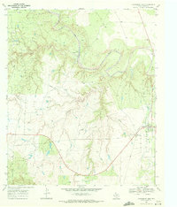
1969 · Clairemont West
USGS Topo · 1:24,000
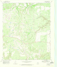
1969 · T-O Creek
USGS Topo · 1:24,000