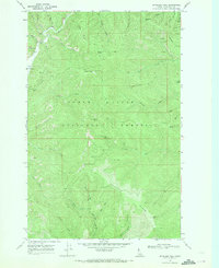
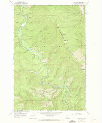
1966 Map of Spyglass Peak
USGS Topo · Published 1971About this map
Coeur d'Alene National Forest defines this high-elevation landscape in Shoshone County during the mid-1960s. The map centers on the heights of Spyglass Peak, where a Lookout Tower provides a vantage point over a dense network of drainages. To the northwest, the Magee Ranger Station and an adjacent Magee Landing Strip serve as the primary operational hubs for forest management, positioned near the junction of Tepee Creek and Magee Creek. The terrain is characterized by steep ridges like Grizzly Ridge and notable summits including Grassy Mountain and Halfway Peak. Evidence of mineral exploration appears in the northeast corner near Doug Creek, where several Prospects and a Gravel Pit are noted. A network of primitive routes and a Pack Trail facilitate movement through the drainage basins of Brett Creek and Miners Creek.
Find a feature on this map
45 named features on this map. Tap any name to fly to it.
Don’t see what you’re looking for? This feature index may not catch every label — zoom into the map to look around manually.
Map Details
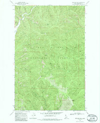
Editions of this 1966 Spyglass Peak Map
2 editions found
Other maps of this area

1909 · Cataldo
USGS Topo · 1:125,000

1911 · Cataldo
USGS Topo · 1:125,000

1955 · Spokane
USGS Topo · 1:250,000

1957 · Kingston
USGS Topo · 1:62,500

1957 · Kellogg
USGS Topo · 1:62,500

1958 · Spokane
USGS Topo · 1:250,000

1961 · Lakeview
USGS Topo · 1:62,500
1966 · Jordan Creek
USGS Topo · 1:24,000
1966 · Cathedral Peak
USGS Topo · 1:24,000
1966 · Pond Peak
USGS Topo · 1:24,000