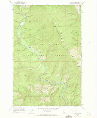
1966 Map of Pond Peak
USGS Topo · Published 1971About this map
The Shoshone Range dominates this mid-1960s survey of Shoshone County, Idaho, where the Coeur d' Alene River carves a deep valley through the northern Coeur d' Alene National Forest. This era of the landscape is defined by mountain lookouts and remote backcountry outposts, including the Rock City Cabin and the Lookout Tower situated atop Little Guard Peak. High-altitude terrain is marked by prominent summits like Pond Peak and Sentinel Peak, connected by established routes such as the Pack Trail and Bennett Trail.
Find a feature on this map
59 named features on this map. Tap any name to fly to it.
Don’t see what you’re looking for? This feature index may not catch every label — zoom into the map to look around manually.
Map Details
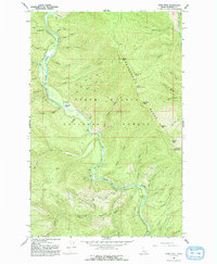
Editions of this 1966 Pond Peak Map
2 editions found
Other maps of this area

1909 · Cataldo
USGS Topo · 1:125,000

1911 · Cataldo
USGS Topo · 1:125,000

1932 · Trout Creek
USGS Topo · 1:125,000

1935 · Trout Creek
USGS Topo · 1:125,000

1936 · Trout Creek
USGS Topo · 1:125,000

1955 · Spokane
USGS Topo · 1:250,000

1956 · Wallace
USGS Topo · 1:250,000

1957 · Burke
USGS Topo · 1:62,500

1957 · Kellogg
USGS Topo · 1:62,500

1958 · Spokane
USGS Topo · 1:250,000