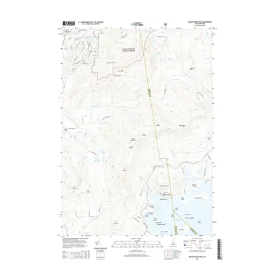
2015 Map of Squam Mountains
USGS Topo · Published 2015About this map
Rockywold and Deephaven occupy the northern shores of Squam Lake, an area defined by its complex shoreline of points and islands. This 2015 survey reveals the topographical transition from the lake's edge to the peaks of the Sandwich Range and the Squam Mountains. Within the White Mountain National Forest, numerous trails and peaks like Mt Percival and Mt Morgan dominate the northern terrain. The map's detail extends to the many islands of the lake, including Loon Islands and Chocorua Island, and the drainage systems of the Beebe River and Chickenboro Brook. Locally named landmarks like Bump Bridge and The Rattlesnakes provide a record of regional nomenclature, while the extensive network of forest roads and trails, such as Weetamoo Trl, indicates the modern recreational use of the landscape.
Find a feature on this map
104 named features on this map. Tap any name to fly to it.
Don’t see what you’re looking for? This feature index may not catch every label — zoom into the map to look around manually.
Map Details
Editions of this 2015 Squam Mountains Map
This is the sole edition of this map. No revisions or reprints were ever made.
Other maps of this area

1909 · Winnepesaukee
USGS Topo · 1:62,500

1925 · Holderness
USGS Topo · 1:62,500

1927 · Holderness
USGS Topo · 1:62,500

1928 · Plymouth
USGS Topo · 1:62,500

1931 · Plymouth
USGS Topo · 1:62,500

1931 · Mt. Chocorua
USGS Topo · 1:62,500

1949 · Portland
USGS Topo · 1:250,000

1956 · Winnipesaukee
USGS Topo · 1:62,500

1956 · Holderness
USGS Topo · 1:62,500

1956 · Portland
USGS Topo · 1:250,000