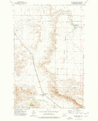
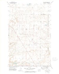
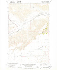
1972 Map of Square Butte
USGS Topo · Published 1976About this map
The tiny settlement of Square Butte sits at the base of the massive landform that shares its name, where the Chicago Milwaukee St Paul And Pacific railroad cuts a diagonal line across the Montana plains. This 1970s landscape is defined by its sharp vertical transitions, from the high plateau of the Square Butte Bench to the dramatic Chalk Cliffs and the erosion patterns of Big Coulee. Agricultural infrastructure is evident in the scattered Storage Bins positioned along the rail corridor, suggesting a grain-handling economy that relied on the rail line for transport.
Find a feature on this map
17 named features on this map. Tap any name to fly to it.
Don’t see what you’re looking for? This feature index may not catch every label — zoom into the map to look around manually.
Map Details
Editions of this 1972 Square Butte Map
This is the sole edition of this map. No revisions or reprints were ever made.
Other maps of this area

1890 · Fort Benton
USGS Topo · 1:250,000

1892 · Fort Benton
USGS Topo · 1:250,000

1897 · Fort Benton
USGS Topo · 1:250,000

1954 · Great Falls
USGS Topo · 1:250,000

1957 · Great Falls
USGS Topo · 1:250,000
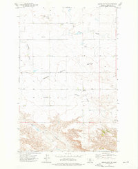
1972 · Square Butte SE
USGS Topo · 1:24,000
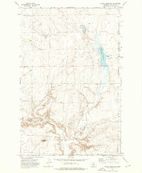
1972 · Dammel Reservoir
USGS Topo · 1:24,000
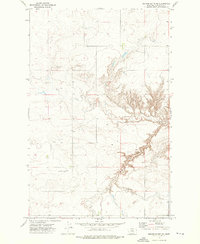
1972 · Square Butte NE
USGS Topo · 1:24,000
1972 · Geraldine NE
USGS Topo · 1:24,000
1978 · Strouf Island
USGS Topo · 1:24,000