
1979 Map of Square Butte
USGS Topo · Published 1980About this map
Square Butte rises above the rolling grasslands of Golden Valley County, serving as a prominent landmark in this corner of North Dakota. In the late 1970s, the landscape reflected a combination of cattle ranching and emerging energy interests, evidenced by the presence of numerous Oil Wells and Drill Holes scattered across the township lines. Movement through the area followed established corridors like South Square Butte Road and Garner Creek Road, which provided access to the drainages of Fisher Run and Garner Creek. The map documents a quiet period of rural activity, where traditional topography meets industrial utility, as seen with the prominent Pipeline cutting across the southeastern corner near Dry Creek. Researchers will find a clear record of land use and resource extraction from this era.
Find a feature on this map
17 named features on this map. Tap any name to fly to it.
Don’t see what you’re looking for? This feature index may not catch every label — zoom into the map to look around manually.
Map Details
Editions of this 1979 Square Butte Map
This is the sole edition of this map. No revisions or reprints were ever made.
Other maps of this area

1953 · Dickinson
USGS Topo · 1:250,000

1957 · Dickinson
USGS Topo · 1:250,000

1970 · Medora
USGS Topo · 1:24,000

1979 · Sentinel Butte SE
USGS Topo · 1:24,000
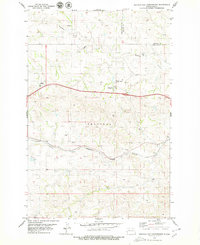
1979 · Buffalo Gap Campground
USGS Topo · 1:24,000
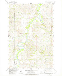
1979 · Chimney Butte
USGS Topo · 1:24,000

1979 · Bullion Butte
USGS Topo · 1:24,000
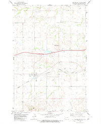
1980 · Sentinel Butte
USGS Topo · 1:24,000

1980 · Alpha
USGS Topo · 1:24,000

1980 · Belfield
USGS Topo · 1:100,000