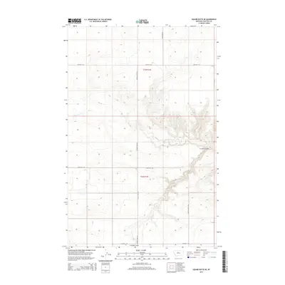
2014 Map of Square Butte NE
USGS Topo · Published 2014About this map
Cut Bank Coulee dominates the eastern half of this landscape in Chouteau County, carving a deep drainage pattern across the high plains. The terrain here is defined by this complex coulee system and the seasonal flow of Flat Cr, which cuts through the central sections of the quadrangle. This 2014 survey illustrates a rural environment where land use is dictated by the topography, with roads often following the edges of the plateaus or the logic of the section lines.
Find a feature on this map
11 named features on this map. Tap any name to fly to it.
Don’t see what you’re looking for? This feature index may not catch every label — zoom into the map to look around manually.
Map Details
Editions of this 2014 Square Butte NE Map
This is the sole edition of this map. No revisions or reprints were ever made.
Other maps of this area
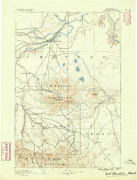
1890 · Fort Benton
USGS Topo · 1:250,000
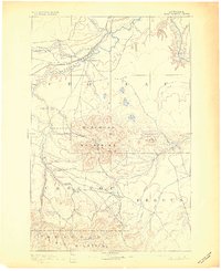
1892 · Fort Benton
USGS Topo · 1:250,000
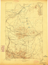
1897 · Fort Benton
USGS Topo · 1:250,000
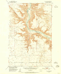
1953 · Eagle Buttes
USGS Topo · 1:24,000
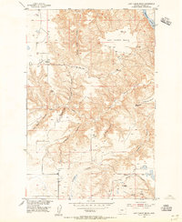
1953 · Last Chance Bench
USGS Topo · 1:24,000

1954 · Great Falls
USGS Topo · 1:250,000
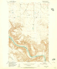
1954 · Dark Butte
USGS Topo · 1:24,000

1954 · Lewistown
USGS Topo · 1:250,000
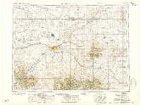
1957 · Great Falls
USGS Topo · 1:250,000

1959 · Lewistown
USGS Topo · 1:250,000