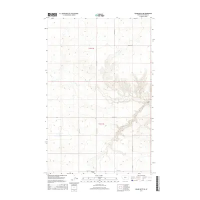
2017 Map of Square Butte NE
USGS Topo · Published 2017About this map
Flat Cr meanders through the central and eastern portions of this High Plains landscape in Chouteau County, carving distinct drainage patterns into the surrounding plateaus. The topography is defined by the sharp descent into Cut Bank Coulee, a prominent geographic depression that cuts across the southeastern terrain. This area, surveyed by the U.S. Geological Survey, reflects a rural grid of land management and transportation, with township lines for t23n r13e and t22n r13e organizing the cattle-and-wheat country.
Find a feature on this map
13 named features on this map. Tap any name to fly to it.
Don’t see what you’re looking for? This feature index may not catch every label — zoom into the map to look around manually.
Map Details
Editions of this 2017 Square Butte NE Map
This is the sole edition of this map. No revisions or reprints were ever made.
Other maps of this area
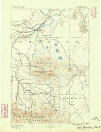
1890 · Fort Benton
USGS Topo · 1:250,000
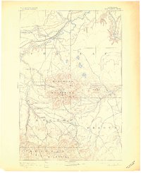
1892 · Fort Benton
USGS Topo · 1:250,000
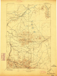
1897 · Fort Benton
USGS Topo · 1:250,000
1953 · Eagle Buttes
USGS Topo · 1:24,000
1953 · Last Chance Bench
USGS Topo · 1:24,000

1954 · Great Falls
USGS Topo · 1:250,000
1954 · Dark Butte
USGS Topo · 1:24,000

1954 · Lewistown
USGS Topo · 1:250,000
1957 · Great Falls
USGS Topo · 1:250,000

1959 · Lewistown
USGS Topo · 1:250,000