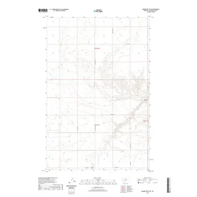
2020 Map of Square Butte NE
USGS Topo · Published 2020About this map
Flat Creek and its associated drainages define this high plains landscape in Chouteau County, where the terrain is marked by the deep incisions of Cut Bank Coulee. The map reveals a contemporary rural landscape structured by a grid of named local roads that likely follow older section lines or historical pathways. Important local thoroughfares such as Wagon Trail Rd and Happy Hollow Rd provide access through the varying elevations of the northern Montana prairie. Other significant routes like Prairie Edge Rd and Graceville Rd intersect the landscape, highlighting the continued importance of land-based transportation and local connectivity in this sparsely populated region. The hydrography is characterized by seasonal creek beds and intermittent water features, reflecting the semi-arid climate of the Big Sky Country.
Find a feature on this map
14 named features on this map. Tap any name to fly to it.
Don’t see what you’re looking for? This feature index may not catch every label — zoom into the map to look around manually.
Map Details
Editions of this 2020 Square Butte NE Map
This is the sole edition of this map. No revisions or reprints were ever made.
Other maps of this area

1890 · Fort Benton
USGS Topo · 1:250,000

1892 · Fort Benton
USGS Topo · 1:250,000

1897 · Fort Benton
USGS Topo · 1:250,000

1953 · Eagle Buttes
USGS Topo · 1:24,000

1953 · Last Chance Bench
USGS Topo · 1:24,000

1954 · Great Falls
USGS Topo · 1:250,000

1954 · Dark Butte
USGS Topo · 1:24,000

1954 · Lewistown
USGS Topo · 1:250,000

1957 · Great Falls
USGS Topo · 1:250,000

1959 · Lewistown
USGS Topo · 1:250,000