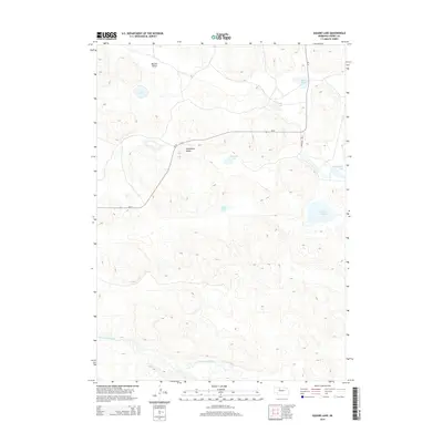
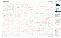
2014 Map of Square Lake
USGS Topo · Published 2014About this map
North Loup River meanders across the southern portion of this landscape, carving a distinct path through the rolling sandhills of Cherry County. The area is defined by a series of isolated basins and depressions that harbor water bodies such as Square Lake, Stout Lake, and the elongated Packingham Lake. These hydrologic features are central to the local geography, providing vital water sources in an otherwise semi-arid environment.
Find a feature on this map
13 named features on this map. Tap any name to fly to it.
Don’t see what you’re looking for? This feature index may not catch every label — zoom into the map to look around manually.
Map Details
Editions of this 2014 Square Lake Map
This is the sole edition of this map. No revisions or reprints were ever made.
Other maps of this area
1949 · Big Falls
USGS Topo · 1:62,500
1950 · Powderhorn Valley
USGS Topo · 1:62,500
1950 · Kennedy
USGS Topo · 1:62,500
1951 · Big Falls
USGS Topo · 1:62,500
1951 · Bull Lake
USGS Topo · 1:62,500

1957 · Valentine
USGS Topo · 1:250,000

1959 · Valentine
USGS Topo · 1:250,000
1985 · Mullen
USGS Topo · 1:100,000
1985 · Goose Creek
USGS Topo · 1:100,000
1985 · Cody
USGS Topo · 1:100,000