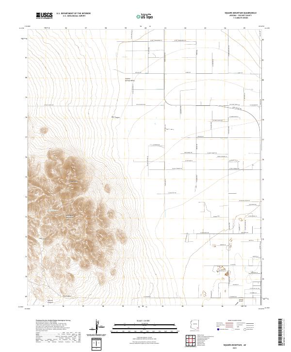
2021 Map of Square Mountain
USGS Topo · Published 2021About this map
The Winchester Mountains dominate this high-desert landscape in Cochise County, providing a dramatic backdrop to the agrarian flats of the Sulphur Springs Valley. At the center of the range lies Square Mtn, surrounded by deep incisions like Bee Canyon, Long Canyon, and Pine Canyon. These drainages suggest the complex hydrology of a region where water management is critical, evidenced by features such as Pine Tank tucked into the mountain folds.
Find a feature on this map
50 named features on this map. Tap any name to fly to it.
Don’t see what you’re looking for? This feature index may not catch every label — zoom into the map to look around manually.
Map Details
Editions of this 2021 Square Mountain Map
This is the sole edition of this map. No revisions or reprints were ever made.
Other maps of this area

1922 · Willcox
USGS Topo · 1:125,000

1943 · Willcox
USGS Topo · 1:62,500

1943 · Cochise
USGS Topo · 1:62,500

1943 · Dragoon
USGS Topo · 1:62,500

1943 · Winchester Mts.
USGS Topo · 1:62,500

1945 · Winchester Mts.
USGS Topo · 1:62,500

1954 · Silver City
USGS Topo · 1:250,000

1956 · Tucson
USGS Topo · 1:250,000

1957 · Winchester Mts.
USGS Topo · 1:62,500

1958 · Silver City
USGS Topo · 1:250,000