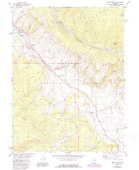
1980 Map of Squaw Creek
USGS Topo · Published 1988About this map
Green Mountain Reservoir serves as a northern anchor on this landscape, with its eastern shoreline traced by several public recreation spots including McDonald Flats Campground, Prairie Point Campground, and Davis Spring Campground. The Blue River flows southeast through the heart of the terrain, flanked by the Williams Fork Mountains to the northeast and the Gore Range to the southwest. This 1980s data highlights the preservation of the landscape through the Blue River State Wildlife Area and the Eagles Nest Wilderness.
Find a feature on this map
57 named features on this map. Tap any name to fly to it.
Don’t see what you’re looking for? This feature index may not catch every label — zoom into the map to look around manually.
Map Details
Editions of this 1980 Squaw Creek Map
2 editions found
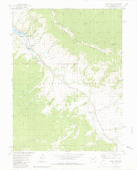
Other maps of this area

1929 · Dillon
USGS Topo · 1:62,500

1933 · Mt. Powell
USGS Topo · 1:48,000

1933 · Ute Peak
USGS Topo · 1:62,500

1934 · Minturn
USGS Topo · 1:62,500

1934 · Dillon
USGS Topo · 1:62,500

1937 · Ute Peak
USGS Topo · 1:62,500

1940 · Mount Powell
USGS Topo · 1:62,500

1950 · Minturn
USGS Topo · 1:62,500

1957 · Leadville
USGS Topo · 1:250,000

1959 · Leadville
USGS Topo · 1:250,000