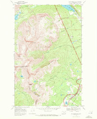
1968 Map of Squaw Mountain
USGS Topo · Published 1972About this map
The Continental Divide creates a massive physical boundary across this landscape, separating the high peaks of Glacier National Park from the Lewis and Clark National Forest and the Blackfeet Indian Reservation. This terrain is defined by dramatic water features and glacial geology, ranging from the cascades at Trick Falls and Appistoki Falls to the deep basins of Two Medicine Lake and Lower Two Medicine Lake.
Find a feature on this map
58 named features on this map. Tap any name to fly to it.
Don’t see what you’re looking for? This feature index may not catch every label — zoom into the map to look around manually.
Map Details
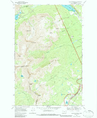
Editions of this 1968 Squaw Mountain Map
2 editions found
Other maps of this area

1901 · Browning
USGS Topo · 1:125,000

1903 · Browning
USGS Topo · 1:125,000

1913 · Marias Pass
USGS Topo · 1:125,000

1960 · Cut Bank
USGS Topo · 1:250,000

1963 · Cut Bank
USGS Topo · 1:250,000

1964 · Cut Bank
USGS Topo · 1:250,000
1968 · Blacktail
USGS Topo · 1:24,000
1968 · Cut Bank Pass
USGS Topo · 1:24,000
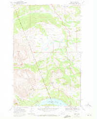
1968 · Kiowa
USGS Topo · 1:24,000
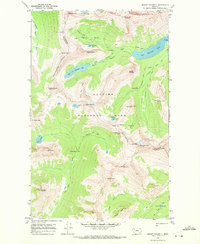
1968 · Mount Rockwell
USGS Topo · 1:24,000