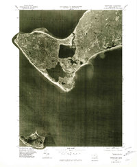
1977 Map of Squibnocket
USGS Topo · Published 1981About this map
Marthas Vineyard occupies the upper half of this 1977 orthophotoquad, showcasing the westernmost reach of the island as it appeared in the late seventies. The aerial imagery provides a direct view of the land-use patterns across Chilmark and Gay Head, revealing the dense vegetation, coastal ponds, and scattered settlement structures of the era. The shoreline is particularly well-defined, from the narrow spit at Menemsha to the expansive Squibnocket Pond and the southern coast facing the Atlantic Ocean.
Find a feature on this map
9 named features on this map. Tap any name to fly to it.
Don’t see what you’re looking for? This feature index may not catch every label — zoom into the map to look around manually.
Map Details
Editions of this 1977 Squibnocket Map
This is the sole edition of this map. No revisions or reprints were ever made.
Other maps of this area

1887 · Gay Head
USGS Topo · 1:62,500

1889 · Gay Head
USGS Topo · 1:62,500

1893 · Gay Head
USGS Topo · 1:62,500

1942 · Marthas Vineyard
USGS Topo · 1:125,000

1944 · Tisbury Great Pond
USGS Topo · 1:31,680

1944 · Vineyard Haven
USGS Topo · 1:31,680
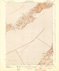
1944 · Naushon Island
USGS Topo · 1:31,680
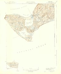
1944 · Squibnocket
USGS Topo · 1:31,680
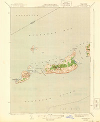
1944 · Cuttyhunk
USGS Topo · 1:31,680

1947 · Providence
USGS Topo · 1:250,000