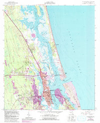
1956 Map of St. Augustine
USGS Topo · Published 1992About this map
St Augustine serves as the focal point of this coastal survey, where the historic core is anchored by the Castillo De San Marcos National Mon overlooking the Matanzas River. The urban footprint reveals a complex network of schools and civic institutions, including the State Deaf and Blind Institute, St Josephs Academy, and Flagler Memorial Hospital. The landscape is defined by its relation to the Intracoastal Waterway, with the iconic Bridge of Lions connecting the mainland to Davis Shores and the northern tip of Anastasia State Recreation Area. To the north, settlements like Vilano Beach and Usina Beach occupy the narrow barrier between the Tolomato River and the Atlantic Ocean, illustrating the region's dense coastal development during the mid-to-late 20th century. Local landmarks such as the Fountain of Youth Park and the St Augustine Airport highlight the intersection of heritage and modern infrastructure.
Find a feature on this map
58 named features on this map. Tap any name to fly to it.
Don’t see what you’re looking for? This feature index may not catch every label — zoom into the map to look around manually.
Map Details
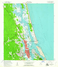
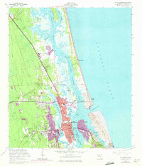
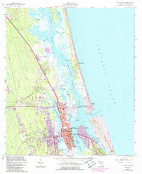
Editions of this 1956 St. Augustine Map
4 editions found
Other maps of this area

1918 · Palm Valley
USGS Topo · 1:62,500

1937 · Bakersville
USGS Topo · 1:24,000

1937 · Elkton
USGS Topo · 1:24,000

1937 · Crescent Beach
USGS Topo · 1:24,000

1937 · St. Augustine
USGS Topo · 1:24,000

1943 · St. Augustine
USGS Topo · 1:62,500

1948 · Jacksonville
USGS Topo · 1:250,000
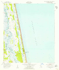
1952 · South Ponte Vedra Beach
USGS Topo · 1:24,000
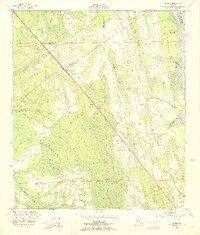
1952 · Durbin
USGS Topo · 1:24,000

1954 · Daytona Beach
USGS Topo · 1:250,000