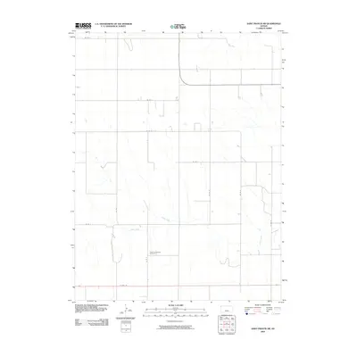
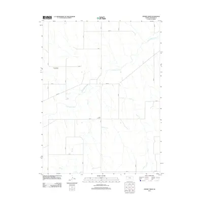
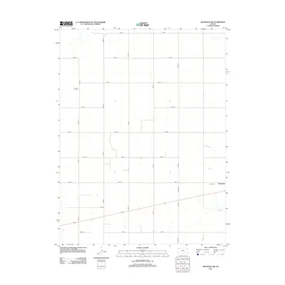
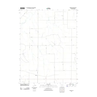
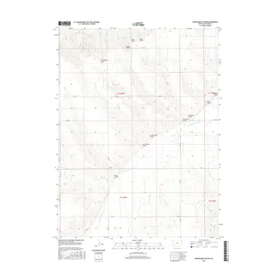
1952 Map of St. Francis 3
USGS Topo · Published 1952About this map
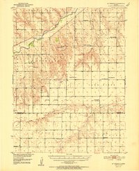
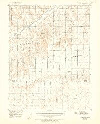
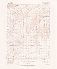
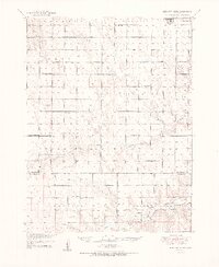
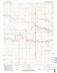
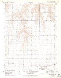
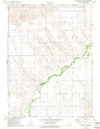
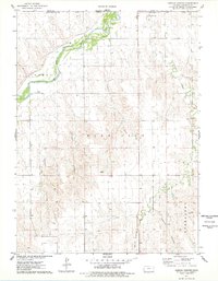
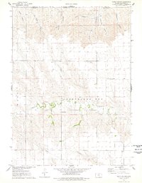
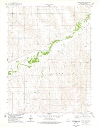
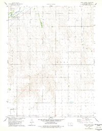
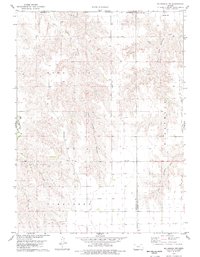
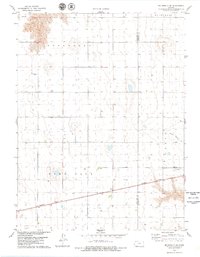
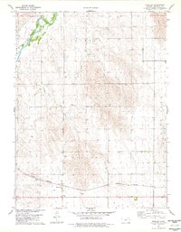
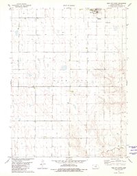
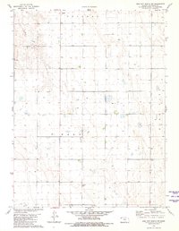
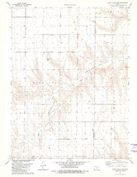
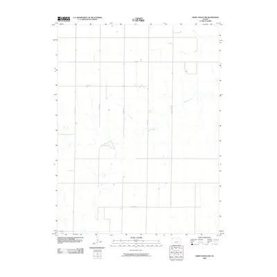
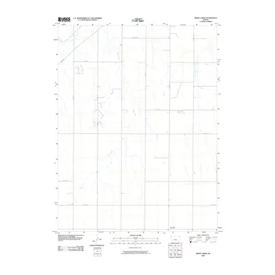
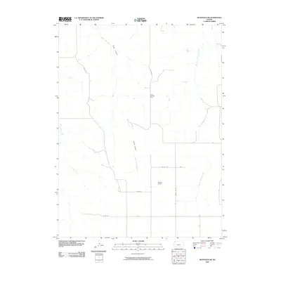
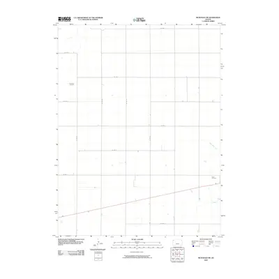
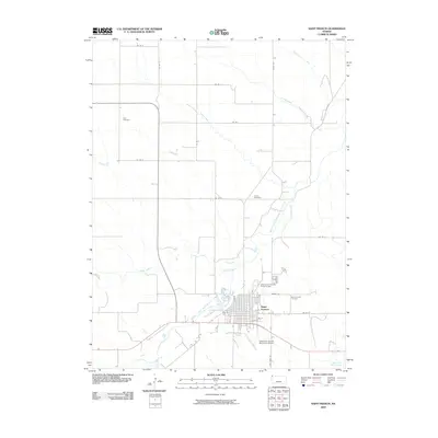
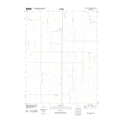
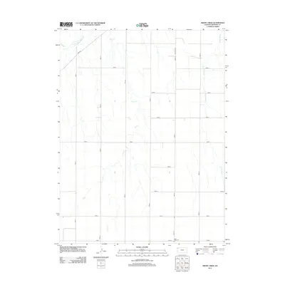
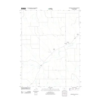
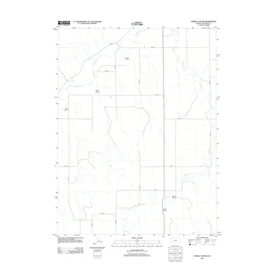
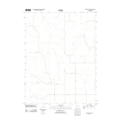
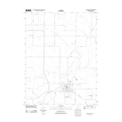
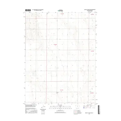
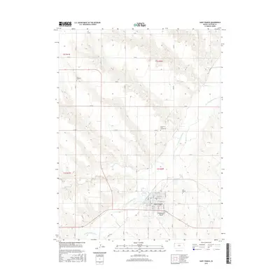
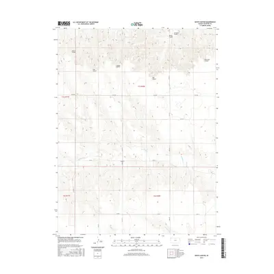
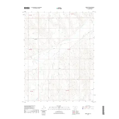
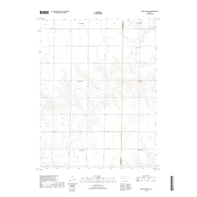
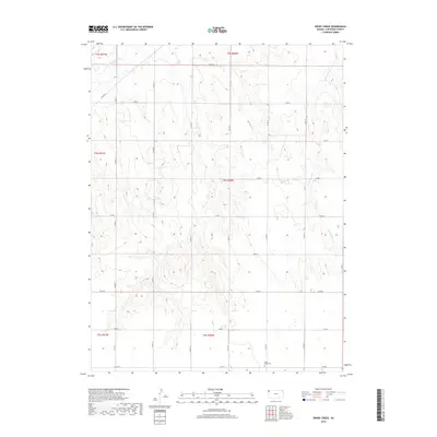
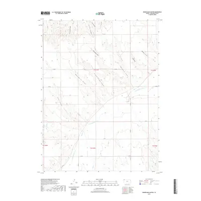
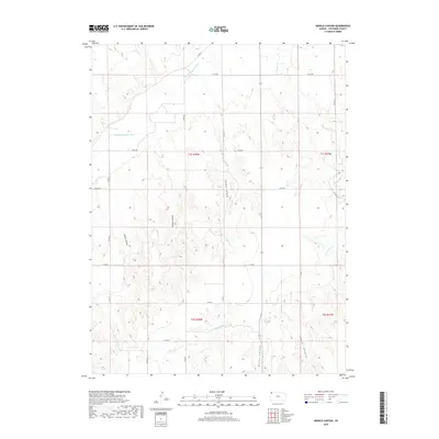
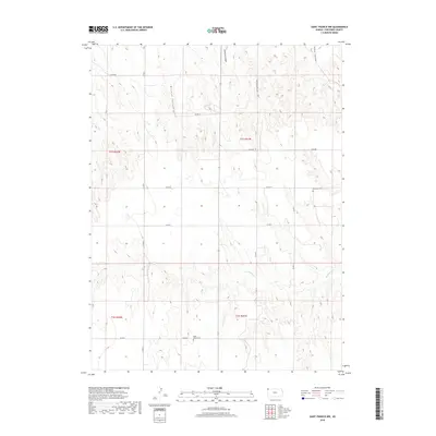
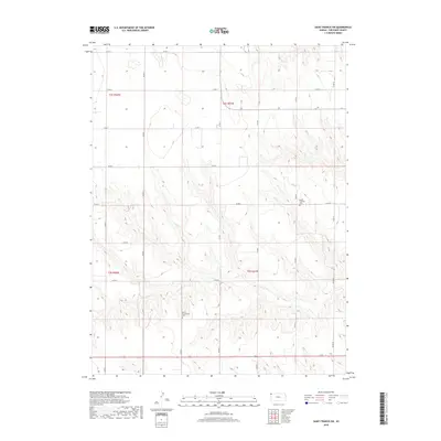
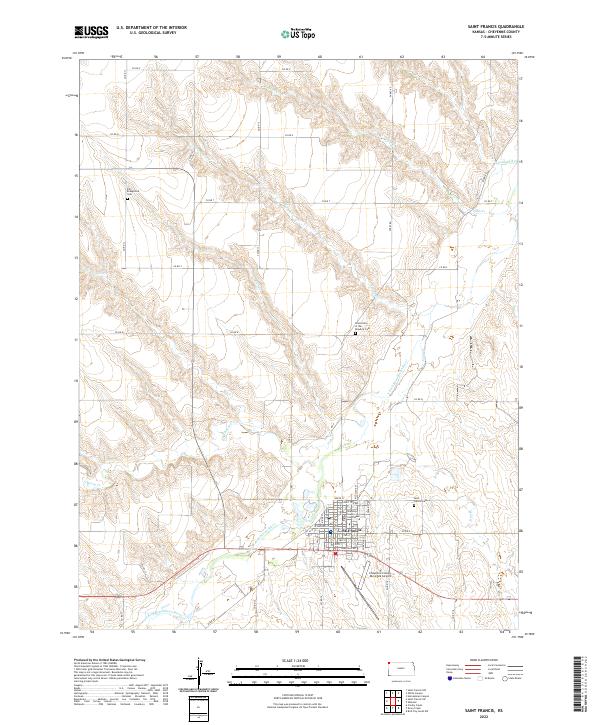
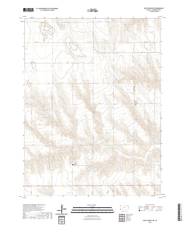
The South Fork Republican River cuts through the high plains of northwest Kansas, anchoring a landscape defined by isolated rural schoolhouses and small country churches. This 1952 study shows a high density of one-room schools such as Mt Zion Sch, Highland Sch, and Lawn Ridge Sch scattered across the townships of Edwins, Lawn Ridge, and Voltaire. These structures, alongside the Neville Ch and Union Star Ch, represent the social and civic heart of a farming community at mid-century. Further south, the terrain transitions into the drainage basins of Little Beaver Creek and Drury Creek, where the boundary between Cheyenne and Sherman counties is marked by the remote Union Sch and Hillside Sch. The map preserves the exact locations of these community hubs, many of which were central to rural life before school consolidation and demographic shifts altered the prairie landscape.
Find a feature on this map
28 named features on this map. Tap any name to fly to it.
Don’t see what you’re looking for? This feature index may not catch every label — zoom into the map to look around manually.
Map Details
Editions of this 1952 St. Francis 3 Map
2 editions found
Historical Maps of Cheyenne County Through Time
94 maps found
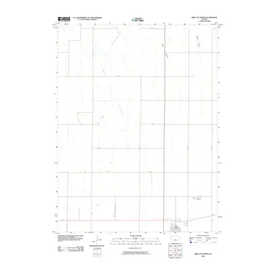
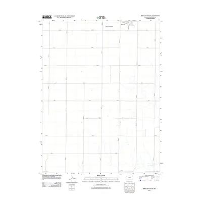
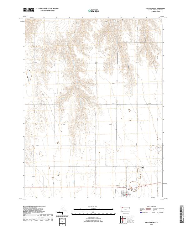
1951 Bird City North
Cheyenne County, KS
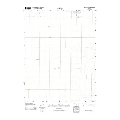
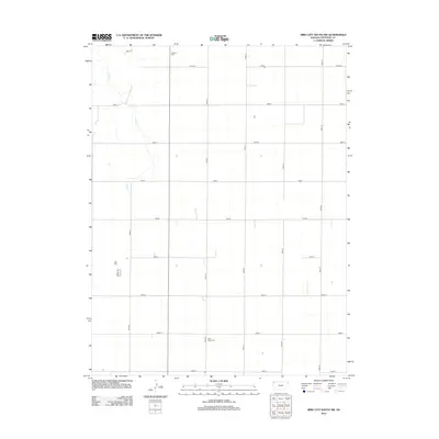
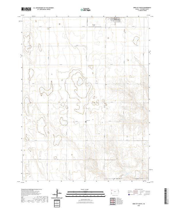
1951 Bird City South
Cheyenne County, KS
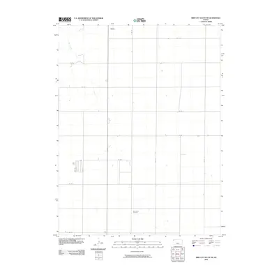
1952 St. Francis 3
Cheyenne County, KS
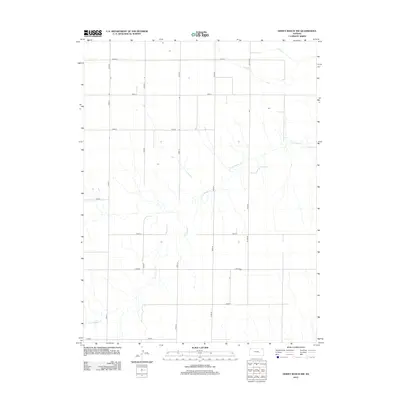
1969 Colony Township NW
Cheyenne County, KS
1976 Bird City North
Cheyenne County, KS
1976 Heinzelman Canyon
Cheyenne County, KS
1976 Henkle Canyon
Cheyenne County, KS
1976 White Canyon
Cheyenne County, KS
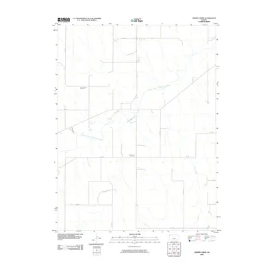
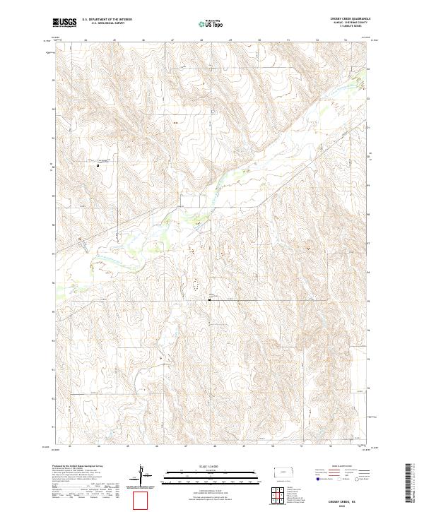
1978 Crosby Creek
Cheyenne County, KS
1978 Drury Creek
Cheyenne County, KS
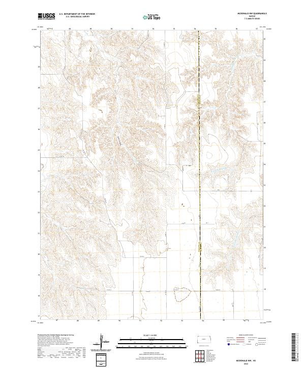
1978 Mc Donald NW
Cheyenne County, KS
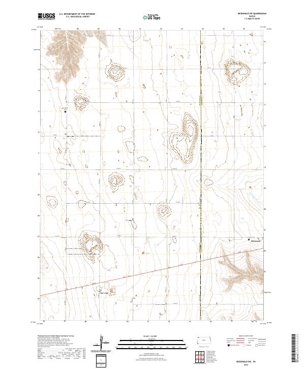
1978 Mc Donald SW
Cheyenne County, KS
1978 St Francis
Cheyenne County, KS
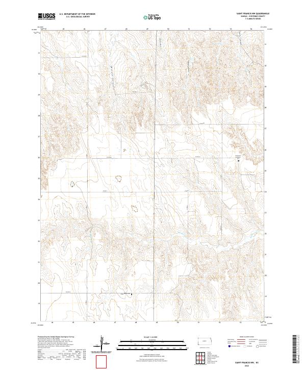
1978 St Francis NW
Cheyenne County, KS
1978 St Francis SW
Cheyenne County, KS
1978 Wheeler
Cheyenne County, KS
1981 Bird City South
Cheyenne County, KS
1981 Bird City South NW
Cheyenne County, KS
1981 Dewey Ranch NW
Cheyenne County, KS
2009 Bird City North
Cheyenne County, KS
2009 Bird City South
Cheyenne County, KS
2009 Bird City South NW
Cheyenne County, KS
2009 Crosby Creek
Cheyenne County, KS
2009 Dewey Ranch NW
Cheyenne County, KS
2009 Drury Creek
Cheyenne County, KS
2009 Heinzelman Canyon
Cheyenne County, KS
2009 Henkle Canyon
Cheyenne County, KS
2009 McDonald NW
Cheyenne County, KS
2009 McDonald SW
Cheyenne County, KS
2009 Saint Francis
Cheyenne County, KS
2009 Saint Francis NW
Cheyenne County, KS
2009 Saint Francis SW
Cheyenne County, KS
2009 Wheeler
Cheyenne County, KS
2009 White Canyon
Cheyenne County, KS
2012 Bird City North
Cheyenne County, KS
2012 Bird City South
Cheyenne County, KS
2012 Bird City South NW
Cheyenne County, KS
2012 Crosby Creek
Cheyenne County, KS
2012 Dewey Ranch NW
Cheyenne County, KS
2012 Drury Creek
Cheyenne County, KS
2012 Heinzelman Canyon
Cheyenne County, KS
2012 Henkle Canyon
Cheyenne County, KS
2012 McDonald NW
Cheyenne County, KS
2012 McDonald SW
Cheyenne County, KS
2012 Saint Francis
Cheyenne County, KS
2012 Saint Francis NW
Cheyenne County, KS
2012 Saint Francis SW
Cheyenne County, KS
2012 Wheeler
Cheyenne County, KS
2012 White Canyon
Cheyenne County, KS
2015 Bird City North
Cheyenne County, KS
2015 Bird City South
Cheyenne County, KS
2015 Bird City South NW
Cheyenne County, KS
2015 Crosby Creek
Cheyenne County, KS
2015 Dewey Ranch NW
Cheyenne County, KS
2015 Drury Creek
Cheyenne County, KS
2015 Heinzelman Canyon
Cheyenne County, KS
2015 Henkle Canyon
Cheyenne County, KS
2015 McDonald NW
Cheyenne County, KS
2015 McDonald SW
Cheyenne County, KS
2015 Saint Francis
Cheyenne County, KS
2015 Saint Francis NW
Cheyenne County, KS
2015 Saint Francis SW
Cheyenne County, KS
2015 Wheeler
Cheyenne County, KS
2015 White Canyon
Cheyenne County, KS
2018 Bird City North
Cheyenne County, KS
2018 Bird City South
Cheyenne County, KS
2018 Bird City South NW
Cheyenne County, KS
2018 Crosby Creek
Cheyenne County, KS
2018 Dewey Ranch NW
Cheyenne County, KS
2018 Drury Creek
Cheyenne County, KS
2018 Heinzelman Canyon
Cheyenne County, KS
2018 Henkle Canyon
Cheyenne County, KS
2018 McDonald NW
Cheyenne County, KS
2018 McDonald SW
Cheyenne County, KS
2018 Saint Francis
Cheyenne County, KS
2018 Saint Francis NW
Cheyenne County, KS
2018 Saint Francis SW
Cheyenne County, KS
2018 Wheeler
Cheyenne County, KS
2018 White Canyon
Cheyenne County, KS
2022 Bird City North
Cheyenne County, KS
2022 Bird City South
Cheyenne County, KS
2022 Bird City South NW
Cheyenne County, KS
2022 Crosby Creek
Cheyenne County, KS
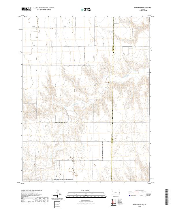
2022 Dewey Ranch NW
Cheyenne County, KS
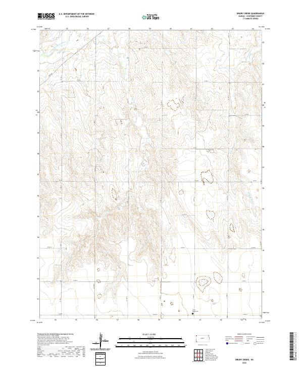
2022 Drury Creek
Cheyenne County, KS
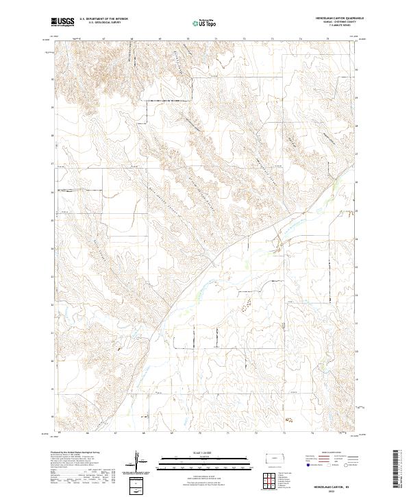
2022 Heinzelman Canyon
Cheyenne County, KS
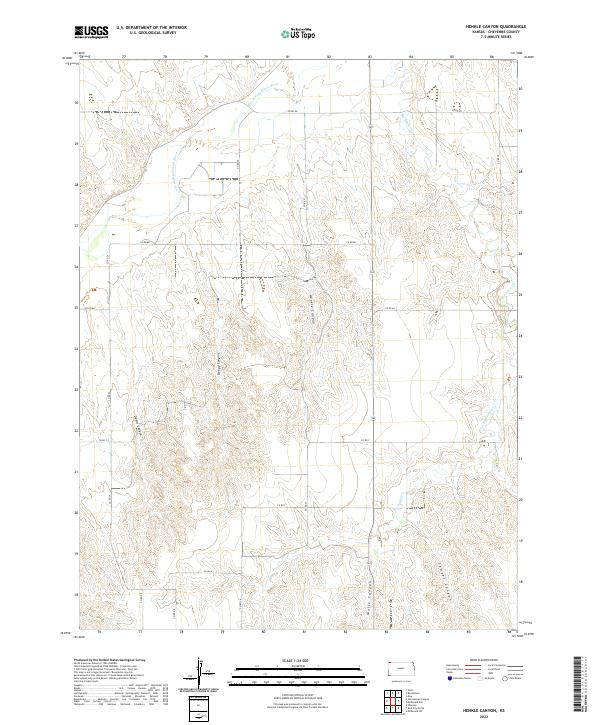
2022 Henkle Canyon
Cheyenne County, KS
2022 McDonald NW
Cheyenne County, KS
2022 McDonald SW
Cheyenne County, KS
2022 Saint Francis
Cheyenne County, KS
2022 Saint Francis NW
Cheyenne County, KS
2022 Saint Francis SW
Cheyenne County, KS
2022 Wheeler
Cheyenne County, KS
2022 White Canyon
Cheyenne County, KS