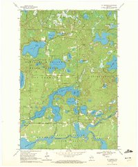
1970 Map of St. Germain
USGS Topo · Published 1972About this map
The glacial waters of the Northern Highland State Forest dominate this northern landscape, where intricate shorelines and wetlands define the region's character in the early 1970s. The interconnected basins of Big St Germain Lake and Little St Germain Lake serve as a central geographic anchor, while the Wisconsin River winds through the southern portion of the quadrangle before entering the Rainbow Flowage.
Find a feature on this map
43 named features on this map. Tap any name to fly to it.
Don’t see what you’re looking for? This feature index may not catch every label — zoom into the map to look around manually.
Map Details
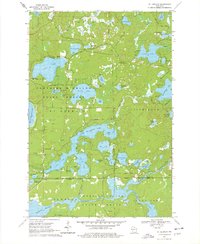
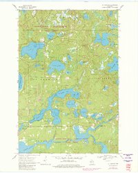
Editions of this 1970 St. Germain Map
3 editions found
Other maps of this area

1930 · Robbins
USGS Topo · 1:48,000

1938 · Minocqua
USGS Topo · 1:48,000

1938 · Robbins
USGS Topo · 1:48,000

1939 · Trout Lake
USGS Topo · 1:48,000

1945 · Robbins
USGS Topo · 1:48,000

1946 · Star Lake
USGS Topo · 1:48,000

1946 · Minocqua
USGS Topo · 1:48,000

1946 · Trout Lake
USGS Topo · 1:48,000

1949 · Trout Lake
USGS Topo · 1:48,000

1949 · Minocqua
USGS Topo · 1:48,000