
1970 Map of St. Germain
USGS Topo · Published 1982About this map
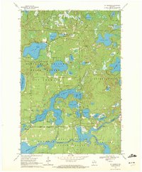
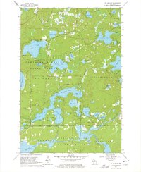
St Germain sits at the heart of this glacial landscape in the early 1970s, surrounded by a dense network of lakes and the sprawling Northern Highland American Legion State Forest. The map documents a transition from purely wild terrain to a recreation-centered economy, evidenced by numerous boat ramps and the Pickerel Lookout Tower overlooking Pickerel Lake. The intricate hydrology is defined by major bodies like Lost Lake, Big St Germain Lake, and Little St Germain Lake, which features distinct segments such as West Bay, South Bay, and East Bay. To the south, the Wisconsin River feeds into the Rainbow Flowage, while the Vilas and Oneida County line bisects the southern forests. Local landmarks like the St Germain Cem and scattered gravel pits provide grounding points for genealogists and local historians tracing the development of this Northwoods community.
Find a feature on this map
55 named features on this map. Tap any name to fly to it.
Don’t see what you’re looking for? This feature index may not catch every label — zoom into the map to look around manually.
Map Details
Editions of this 1970 St. Germain Map
3 editions found
Other maps of this area

1930 · Robbins
USGS Topo · 1:48,000

1938 · Minocqua
USGS Topo · 1:48,000

1938 · Robbins
USGS Topo · 1:48,000

1939 · Trout Lake
USGS Topo · 1:48,000

1945 · Robbins
USGS Topo · 1:48,000

1946 · Star Lake
USGS Topo · 1:48,000

1946 · Minocqua
USGS Topo · 1:48,000

1946 · Trout Lake
USGS Topo · 1:48,000

1949 · Trout Lake
USGS Topo · 1:48,000

1949 · Minocqua
USGS Topo · 1:48,000