
1970 Map of St James SE
USGS Topo · Published 1972About this map
South Branch Watonwan River meanders across the border of Watonwan and Martin Counties, defining a landscape shaped by intensive drainage and agricultural development. In the early 1970s, this region of southern Minnesota relied on an extensive network of man-made waterways, including Judicial Ditch No 2, Judicial Ditch No 72, and Judicial Ditch No 60, to manage the prairie wetlands for farming. Small community anchors like the Waverly Ch and a rural Townhall in Waverly township serve as markers of the local social fabric. To the south, the terrain shifts toward larger water bodies such as Fox Lake and the winding course of Elm Creek. Genealogists may find interest in the isolated North Star Cem, while the inclusion of a major Pipeline and numerous Gravel Pits reflects the area's mid-century industrial and utility infrastructure.
Find a feature on this map
19 named features on this map. Tap any name to fly to it.
Don’t see what you’re looking for? This feature index may not catch every label — zoom into the map to look around manually.
Map Details
Editions of this 1970 St James SE Map
This is the sole edition of this map. No revisions or reprints were ever made.
Other maps of this area

1954 · Fairmont
USGS Topo · 1:250,000

1958 · Fairmont
USGS Topo · 1:250,000

1967 · Truman
USGS Topo · 1:24,000

1967 · Lewisville
USGS Topo · 1:24,000

1967 · Fairmont
USGS Topo · 1:24,000
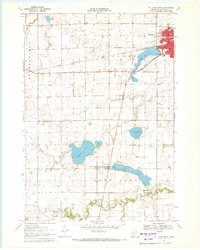
1970 · St James West
USGS Topo · 1:24,000

1970 · Trimont
USGS Topo · 1:24,000
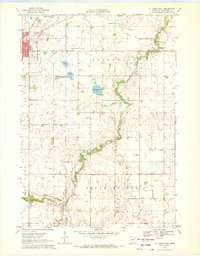
1970 · St James East
USGS Topo · 1:24,000

1970 · Welcome
USGS Topo · 1:24,000

1970 · Sherburn
USGS Topo · 1:24,000