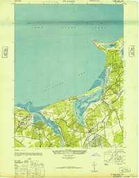
1947 Map of St James
USGS Topo · Published 1947About this map
Smithtown Bay defines the northern coastline of this Suffolk County landscape during the late 1940s, where the tidal estuaries of the Nissequogue River and Stony Brook Harbor meet the Long Island Sound. The map documents a period of significant institutional presence, notably the sprawling grounds of the Kings Park State Hospital for the Insane and the St Johnland Childrens Home near the western boundary. Inland, the village of St. James serves as a hub for the Long Island Railroad, which facilitates movement between residential areas like Flower Field and the coastal settlements. The intricate network of tidal channels, such as Porpoise Channel and West Meadow Creek, illustrates a shoreline shaped by sandbars and salt marshes, providing a detailed view of the natural and man-made features before the suburban expansion of the mid-20th century.
Find a feature on this map
30 named features on this map. Tap any name to fly to it.
Don’t see what you’re looking for? This feature index may not catch every label — zoom into the map to look around manually.
Map Details
Editions of this 1947 St James Map
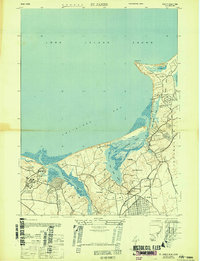
2 editions found
Other maps of this area

1891 · Bridgeport
USGS Topo · 1:62,500

1892 · Norwalk
USGS Topo · 1:62,500

1893 · Bridgeport
USGS Topo · 1:62,500

1893 · Norwalk
USGS Topo · 1:62,500

1901 · Northport
USGS Topo · 1:62,500

1902 · Setauket
USGS Topo · 1:62,500

1903 · Northport
USGS Topo · 1:62,500

1904 · Setauket
USGS Topo · 1:62,500

1904 · Islip
USGS Topo · 1:125,000

1919 · Setauket
USGS Topo · 1:62,500