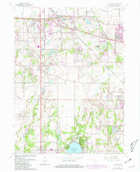
1962 Map of St. John
USGS Topo · Published 1981About this map
The town of St John and the northern shores of Cedar Lake anchor this 1962 landscape, which was later updated in 1980 to show the rapid expansion of Lake County residential areas. Large-scale institutional and commemorative sites occupy the terrain between Schererville and Lincoln Village, including the expansive Chapel Lawn Memorial Gardens Cemetery and Memory Lane Memorial Cem. The area’s religious history is evidenced by the Salesian Junior Seminary and Capuchin Seminary, while recreational growth is marked by the Lake Hills Country Club and Cedar Lake Golf Club.
Find a feature on this map
46 named features on this map. Tap any name to fly to it.
Don’t see what you’re looking for? This feature index may not catch every label — zoom into the map to look around manually.
Map Details
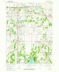
Editions of this 1962 St. John Map
2 editions found
Other maps of this area

1892 · Calumet
USGS Topo · 1:62,500

1893 · Calumet
USGS Topo · 1:62,500

1900 · Toleston
USGS Topo · 1:62,500

1900 · Calumet
USGS Topo · 1:62,500

1901 · Calumet
USGS Topo · 1:62,500

1929 · Calumet City
USGS Topo · 1:24,000

1929 · Dyer
USGS Topo · 1:24,000

1930 · Dyer
USGS Topo · 1:24,000

1949 · Crete
USGS Topo · 1:62,500

1953 · Leroy
USGS Topo · 1:24,000