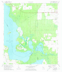
1972 Map of St. Johns Park
USGS Topo · Published 1973About this map
Crescent Lake and its intricate shoreline dominate this 1972 survey, where the borders of Flagler, Putnam, and Volusia counties converge in a landscape of wetlands and navigable waterways. The settlement of St Johns Park sits at the center of a complex hydrological network where Dead Lake connects to the main water body. This era shows a region defined by its water-access points like Shell Bluff Landing and Fish Hawk Point, reflecting a time when the local economy and lifestyle were intimately tied to the lakefront. Significant terrain features such as McReynolds Island and Bear Island are charted alongside the extensive White Oak Swamp, illustrating the natural drainage patterns of the Florida interior before more intensive modern development. The map also records small inland settlements like Andalusia and the presence of a remote Landing Strip, hinting at the transition toward aerial access in these low-lying areas.
Find a feature on this map
24 named features on this map. Tap any name to fly to it.
Don’t see what you’re looking for? This feature index may not catch every label — zoom into the map to look around manually.
Map Details
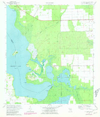
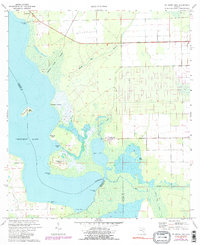
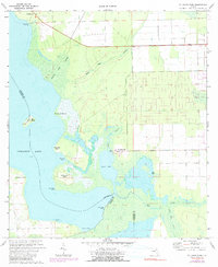
Editions of this 1972 St. Johns Park Map
4 editions found
Other maps of this area

1912 · Palatka
USGS Topo · 1:48,000

1915 · Palatka
USGS Topo · 1:62,500

1937 · Dinner Island
USGS Topo · 1:48,000

1943 · Dinner Island
USGS Topo · 1:62,500

1944 · Dinner Island
USGS Topo · 1:62,500

1954 · Daytona Beach
USGS Topo · 1:250,000
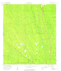
1957 · Espanola
USGS Topo · 1:24,000

1958 · Daytona Beach
USGS Topo · 1:250,000

1964 · Daytona Beach
USGS Topo · 1:250,000
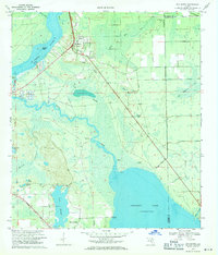
1968 · San Mateo
USGS Topo · 1:24,000