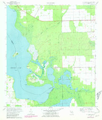
1972 Map of St Johns Park
USGS Topo · Published 1981About this map
Crescent Lake dominates this low-lying landscape where Flagler, Putnam, and Volusia counties converge. The small settlements of Andalusia and St Johns Park sit as outposts on a terrain defined by complex water systems, including Dead Lake and the dense White Oak Swamp. The map reveals a transition between established landings like Shell Bluff Landing and the emerging geometric patterns of rural road developments appearing in purple revision. In the southern reach, the meandering courses of Haw Creek and Little Haw Creek drain into Green Bay, highlighting the delicate hydrologic network of the Florida interior. Local history is etched into family-named points and islands, such as McReynolds Island and Grimsley Neck, while the inclusion of a Landing Strip on Bear Island speaks to the era's light aviation access to these wetland areas.
Find a feature on this map
25 named features on this map. Tap any name to fly to it.
Don’t see what you’re looking for? This feature index may not catch every label — zoom into the map to look around manually.
Map Details
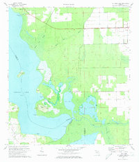
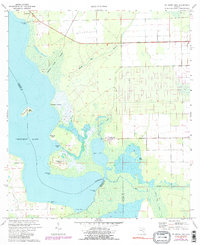
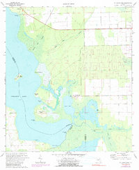
Editions of this 1972 St Johns Park Map
4 editions found
Other maps of this area

1912 · Palatka
USGS Topo · 1:48,000

1915 · Palatka
USGS Topo · 1:62,500

1937 · Dinner Island
USGS Topo · 1:48,000

1943 · Dinner Island
USGS Topo · 1:62,500

1944 · Dinner Island
USGS Topo · 1:62,500

1954 · Daytona Beach
USGS Topo · 1:250,000
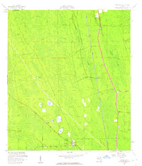
1957 · Espanola
USGS Topo · 1:24,000

1958 · Daytona Beach
USGS Topo · 1:250,000

1964 · Daytona Beach
USGS Topo · 1:250,000
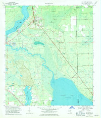
1968 · San Mateo
USGS Topo · 1:24,000