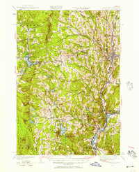
1949 Map of St. Johnsbury
USGS Topo · Published 1957About this map
St Johnsbury serves as the regional anchor for this late-1940s landscape, where the confluence of the Passumpsic River and the Connecticut River dictated the location of early industry and transport. The map documents a transition in energy and transit, from the traditional water-powered sites like Morses Mills and Ewells Mills to the massive Frank D Comerford Hydro-electric Plant downstream. Rail lines including the Canadian Pacific and the St Johnsbury and Lake Champlain RR thread through narrow river valleys, connecting established villages like Barnet and Passumpsic with the broader New England market.
Find a feature on this map
113 named features on this map. Tap any name to fly to it.
Don’t see what you’re looking for? This feature index may not catch every label — zoom into the map to look around manually.
Map Details
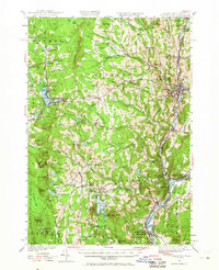
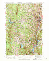
Editions of this 1949 St. Johnsbury Map
3 editions found
Other maps of this area

1928 · Hardwick
USGS Topo · 1:62,500

1929 · Moosilauke
USGS Topo · 1:62,500

1931 · Littleton
USGS Topo · 1:62,500

1931 · Woodsville
USGS Topo · 1:48,000

1932 · Littleton
USGS Topo · 1:48,000

1932 · Moosilauke
USGS Topo · 1:62,500

1934 · Hardwick
USGS Topo · 1:48,000

1935 · Woodsville
USGS Topo · 1:62,500

1935 · Littleton
USGS Topo · 1:62,500

1935 · Lyndonville
USGS Topo · 1:48,000