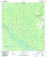
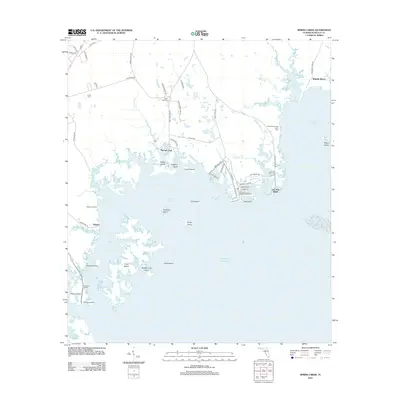
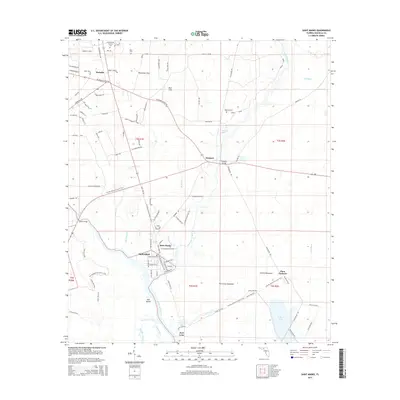
1954 Map of St Marks
USGS Topo · Published 1972About this map
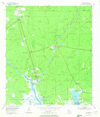
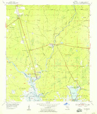
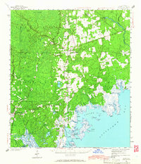
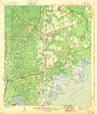
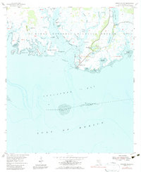
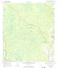
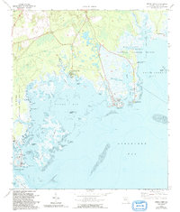
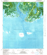
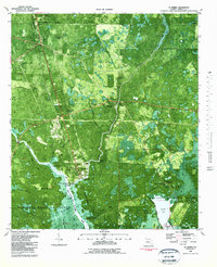
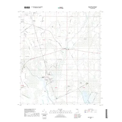
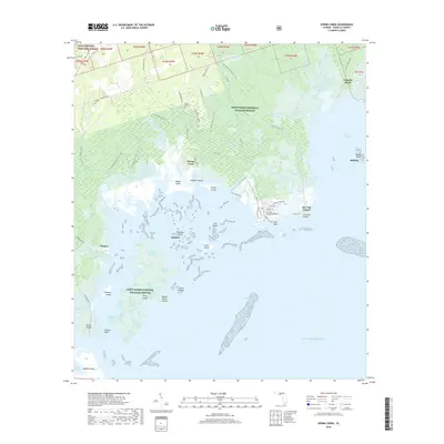
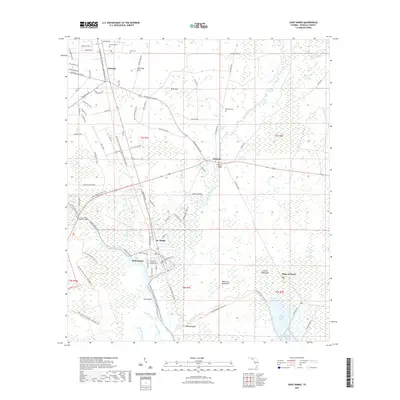
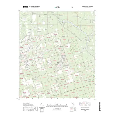
St Marks and the surrounding Wakulla County landscape are defined by the convergence of the Wakulla River and the St Marks River during the mid-1950s. This survey records the significant maritime and rail infrastructure of the era, including the Seaboard Air Line railroad terminating near the Oil Tanks and various landings such as Strickland Landing and Fig Tree Landing. A sense of the region's deep colonial and early American history is preserved in the Site of Old Fort St Marks, located at the strategic point where the rivers meet. Further inland, the map shows a network of family-named cemeteries like Stewart Cem, Mays Cem, and Magnolia Cem, alongside the New Mt Zion Ch. Much of the southern coastal reaches are protected within the St Marks National Wildlife Refuge, featuring intricate waterways like Salt Pan Creek and the East River Pool.
Find a feature on this map
50 named features on this map. Tap any name to fly to it.
Don’t see what you’re looking for? This feature index may not catch every label — zoom into the map to look around manually.
Map Details
Editions of this 1954 St Marks Map
2 editions found
Historical Maps of Saint Marks Through Time
51 maps found
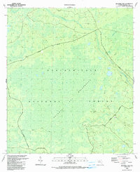
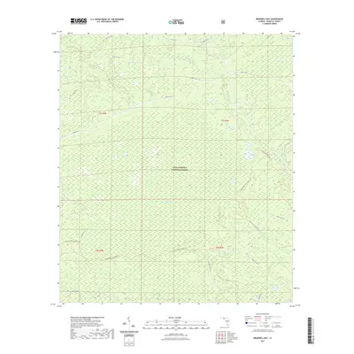
1940 Arran
Wakulla County, FL
1943 Arran
Wakulla County, FL
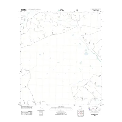
1945 Bradwell Bay
Wakulla County, FL
1945 Sanborn
Wakulla County, FL
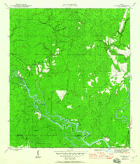
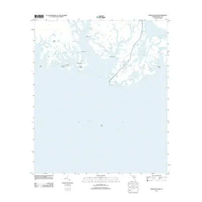
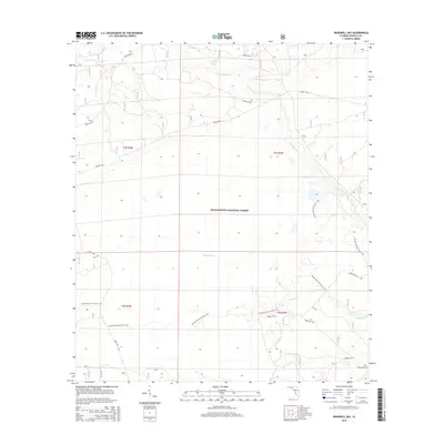
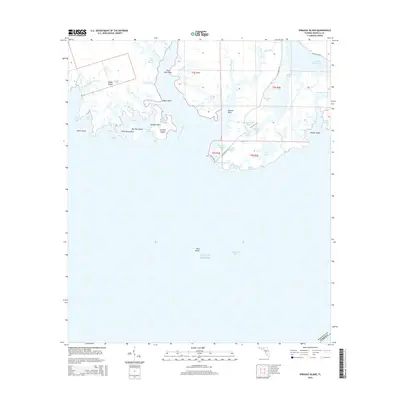
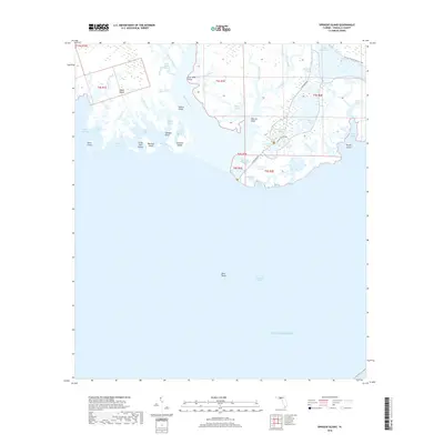
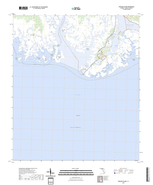
1954 Sprague Island
Wakulla County, FL
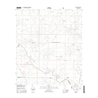
1954 St Marks
Wakulla County, FL
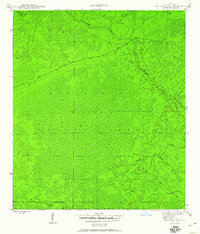
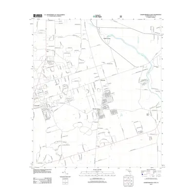
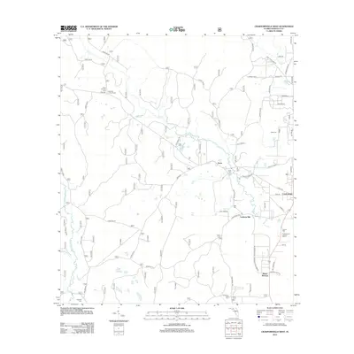
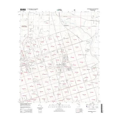
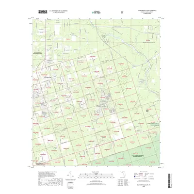
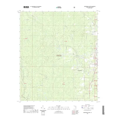
1972 Crawfordville East
Wakulla County, FL
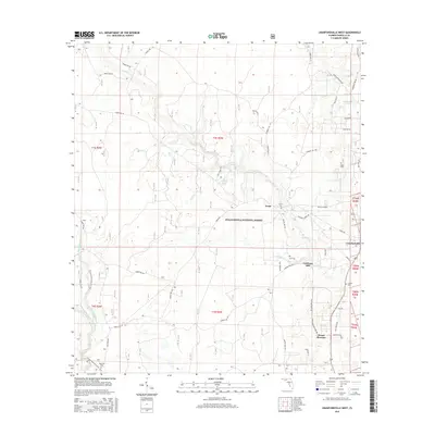
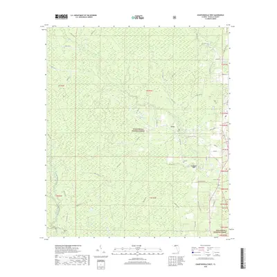
1972 Crawfordville West
Wakulla County, FL
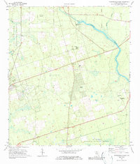
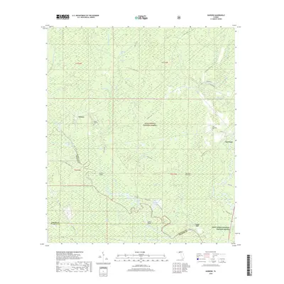
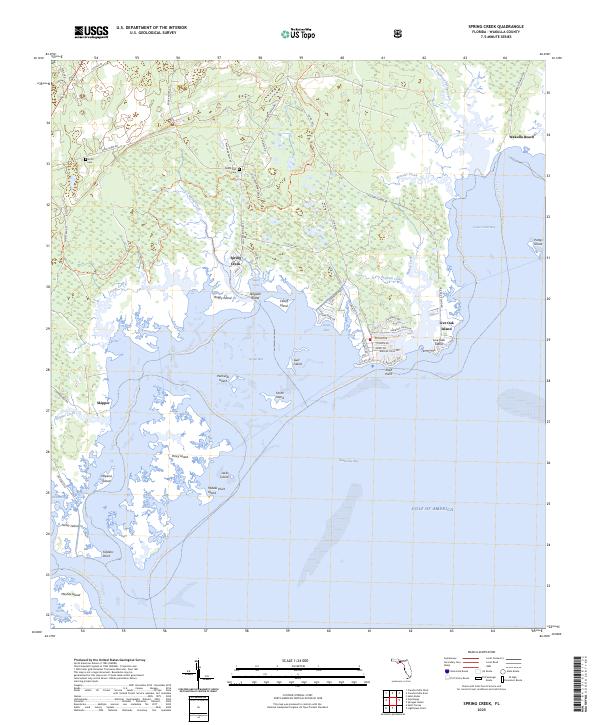
1972 Spring Creek
Wakulla County, FL
1982 Sprague Island
Wakulla County, FL
1982 St Marks
Wakulla County, FL
1990 Bradwell Bay
Wakulla County, FL
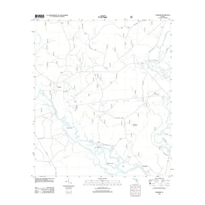
1990 Sanborn
Wakulla County, FL
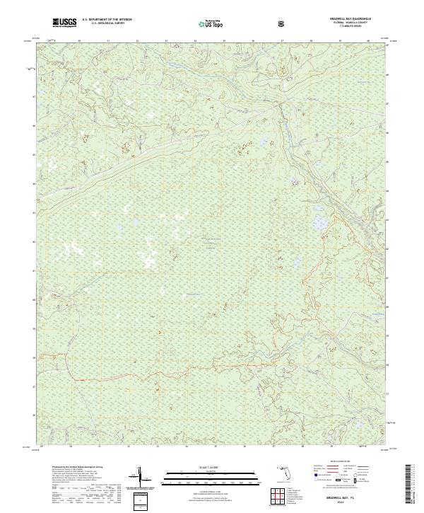
2012 Bradwell Bay
Wakulla County, FL
2012 Crawfordville East
Wakulla County, FL
2012 Crawfordville West
Wakulla County, FL

2012 Saint Marks
Wakulla County, FL
2012 Sanborn
Wakulla County, FL
2012 Sprague Island
Wakulla County, FL
2012 Spring Creek
Wakulla County, FL
2015 Bradwell Bay
Wakulla County, FL
2015 Crawfordville East
Wakulla County, FL
2015 Crawfordville West
Wakulla County, FL
2015 Saint Marks
Wakulla County, FL
2015 Sanborn
Wakulla County, FL
2015 Sprague Island
Wakulla County, FL
2015 Spring Creek
Wakulla County, FL
2018 Bradwell Bay
Wakulla County, FL
2018 Crawfordville East
Wakulla County, FL
2018 Crawfordville West
Wakulla County, FL
2018 Saint Marks
Wakulla County, FL
2018 Sanborn
Wakulla County, FL
2018 Sprague Island
Wakulla County, FL
2018 Spring Creek
Wakulla County, FL
2021 Bradwell Bay
Wakulla County, FL

2021 Crawfordville East
Wakulla County, FL
2021 Crawfordville West
Wakulla County, FL
2021 Saint Marks
Wakulla County, FL
2021 Sanborn
Wakulla County, FL
2021 Sprague Island
Wakulla County, FL
2021 Spring Creek
Wakulla County, FL
2023 Crawfordville East
Wakulla County, FL
2024 Bradwell Bay
Wakulla County, FL
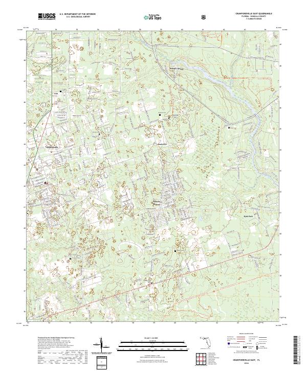
2024 Crawfordville East
Wakulla County, FL
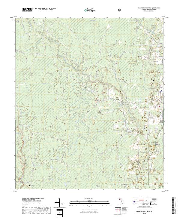
2024 Crawfordville West
Wakulla County, FL
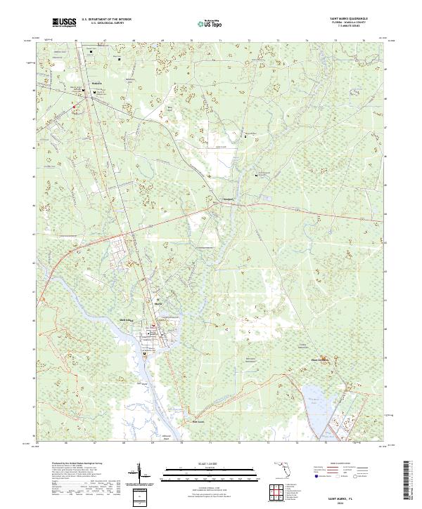
2024 Saint Marks
Wakulla County, FL
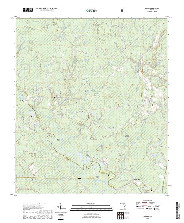
2024 Sanborn
Wakulla County, FL
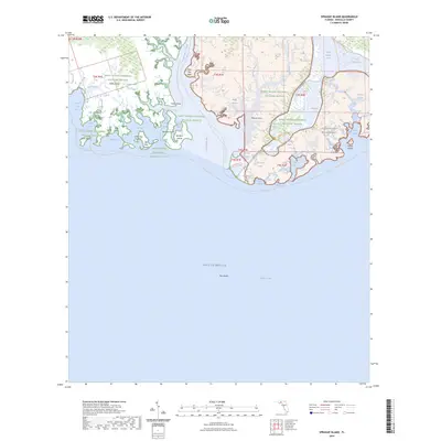
2024 Sprague Island
Wakulla County, FL
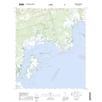
2024 Spring Creek
Wakulla County, FL
2025 Sprague Island
Wakulla County, FL
2025 Spring Creek
Wakulla County, FL