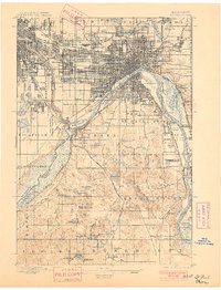
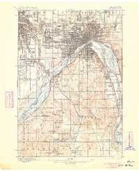
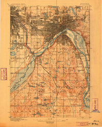
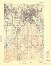
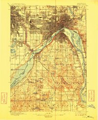
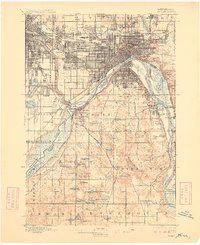
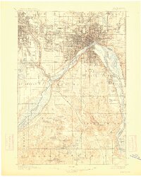
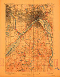
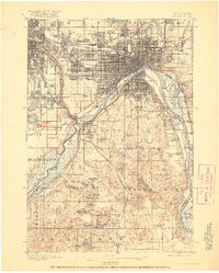
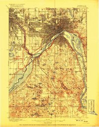
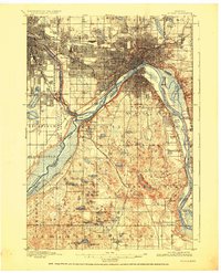
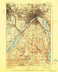
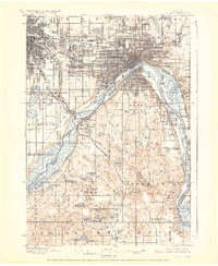
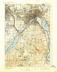
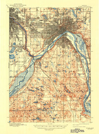
1896 Map of St. Paul
USGS Topo · Published 1908This historical map portrays the area of St. Paul in 1896, primarily covering Ramsey County as well as portions of Hennepin County, Dakota County, and Washington County. Featuring a scale of 1:62500, this map provides a highly detailed snapshot of the terrain, roads, buildings, counties, and historical landmarks in the St. Paul region at the time. Published in 1908, it is one of 19 known editions of this map due to revisions or reprints.
Map Details
Editions of this 1896 St. Paul Map
19 editions found
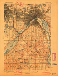
1896 edition
16.4 x 20.4 inches

1896 edition
16.72 x 20.65 inches
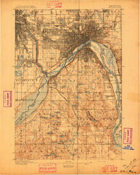
1901 edition
15.3 x 20.1 inches
1901 edition
15.7 x 20.57 inches
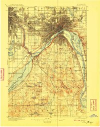
1906 edition
16.59 x 20.43 inches
1906 edition
16 x 20 inches
1908 edition
15.92 x 20.34 inches
1908 edition
15.9 x 20.18 inches
1909 edition
16.1 x 19.85 inches
1909 edition
16.57 x 20.33 inches
1913 edition
16.23 x 20.26 inches
1913 edition
15.7 x 20 inches
1917 edition
16.44 x 20.52 inches
1917 edition
15.83 x 20.28 inches
1926 edition
16.61 x 20.49 inches
1928 edition
16.25 x 20.07 inches
1928 edition
16.55 x 20.24 inches
1938 edition
15.74 x 19.97 inches
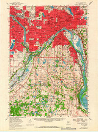
1947 edition
15.2 x 20.5 inches