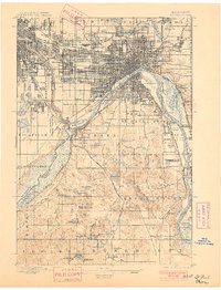
1896 Map of St. Paul
USGS Topo · Published 1901About this map
The Mississippi River and Minnesota River converge at the historic Fort Snelling in this 1894 survey, illustrating the Twin Cities during a period of rapid industrial and rail expansion. While St. Paul and Minneapolis display dense street grids, the surrounding townships like Inver Grove, Egan, and Rosemount remain largely rural, dotted with glacial lakes such as Lake Como and Black Dog Lake. The landscape is a corridor of major transit, showing a dense web of competing lines including the Northern Pacific, Great Northern, and the Electric R. R. bridging the urban centers. South of the city, the river valley reveals a network of smaller landings and settlements like Mendota, Pine Bend, and Newport, offering a detailed view of the regional geography before 20th-century suburbanization altered the open spaces between these burgeoning metropolitan hubs.
Find a feature on this map
99 named features on this map. Tap any name to fly to it.
Don’t see what you’re looking for? This feature index may not catch every label — zoom into the map to look around manually.
Map Details
Editions of this 1896 St. Paul Map
11 editions found

1896 edition
16.72 x 20.65 inches
1901 edition
15.7 x 20.57 inches
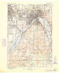
1906 edition
16.59 x 20.43 inches
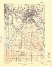
1908 edition
15.92 x 20.34 inches
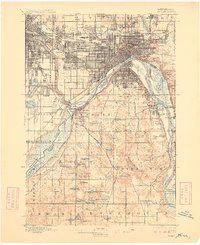
1909 edition
16.57 x 20.33 inches
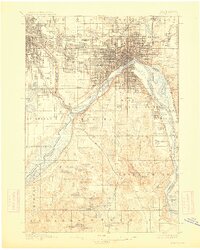
1913 edition
16.23 x 20.26 inches
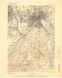
1917 edition
16.44 x 20.52 inches
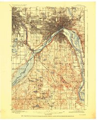
1926 edition
16.61 x 20.49 inches
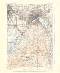
1928 edition
16.55 x 20.24 inches
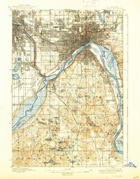
1938 edition
15.74 x 19.97 inches
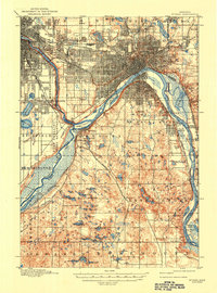
1947 edition
15.2 x 20.5 inches
Other maps of this area

1896 · Minneapolis
USGS Topo · 1:62,500
1896 · St. Paul
USGS Topo · 1:62,500

1901 · Minneapolis
USGS Topo · 1:62,500

1902 · White Bear
USGS Topo · 1:62,500

1902 · Anoka
USGS Topo · 1:62,500

1946 · Hudson
USGS Topo · 1:62,500

1948 · Stillwater
USGS Topo · 1:62,500

1949 · Hudson
USGS Topo · 1:62,500

1949 · Stillwater
USGS Topo · 1:62,500

1949 · Lake Elmo
USGS Topo · 1:24,000